Closepet night lights from space
Night Light of Closepet (Karnataka) from space (India) Src. Average luminocity for 10x10km area is 58.197% and for 50x50km: 28.91%.
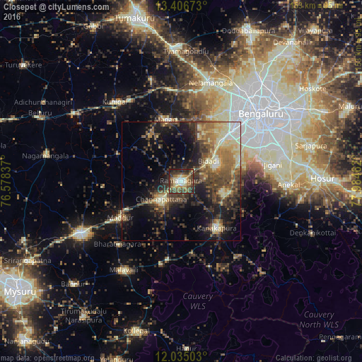
Analysis of Closepet night lights 2016
Square area 10x10 km:
 4.98%
4.98%90-99
12.12%80-89
8.01%70-79
7.58%60-69
8.66%50-59
14.07%40-49
18.4%30-39
15.8%20-29
7.79%10-19
2.6%0-9
0%Square area 50x50 km:
1.52%90-99
4.3%80-89
4.96%70-79
2.97%60-69
4.64%50-59
5.57%40-49
7.14%30-39
7.38%20-29
7.91%10-19
14.55%0-9
39.07%Clear (daylight) street map image can be seen on geolist.org.
Map coordinates:
13° 24' 24.2" North, 76° 34' 42.1" East
12° 43' 18.5" North, 77° 16' 53.4" East
12° 2' 6.1" North, 77° 59' 4.6" East
Some cities around Closepet sort by population:
• Bengaluru
43.8 km =27.2 mi,  50°
50°
• Channapatna
11.3 km =7 mi,  226°
226°
• Kānkānhalli
24.6 km =15.3 mi,  142°
142°
• Malavalli
44.4 km =27.6 mi,  212°
212°
• Kunigal
43.5 km =27 mi,  320°
320°
• Nelamangala
43.7 km =27.2 mi,  16°
16°
• Maddūr
30.1 km =18.7 mi,  239°
239°
• Māgadi
26.9 km =16.7 mi,  346°
346°
1258744 (p: 93,528)
Sources (retrieved 2019-11-25):
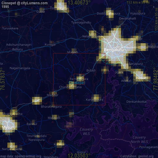
» NASA, Earths city lights 1995
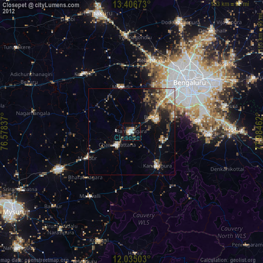
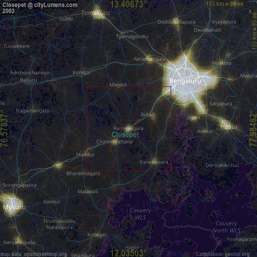
» NASA city lights 2003
» Earth at Night: Flat Maps 2012, 2016