Nelamangala night lights from space
Night Light of Nelamangala (Karnataka) from space (India) Src. Average luminocity for 10x10km area is 83.5433% and for 50x50km: 55.0837%.
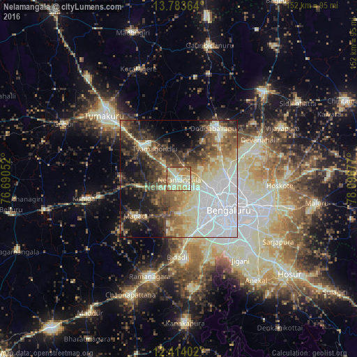
Analysis of Nelamangala night lights 2016
Square area 10x10 km:
 7.58%
7.58%90-99
31.17%80-89
30.3%70-79
13.64%60-69
12.77%50-59
4.55%40-49
0%30-39
0%20-29
0%10-19
0%0-9
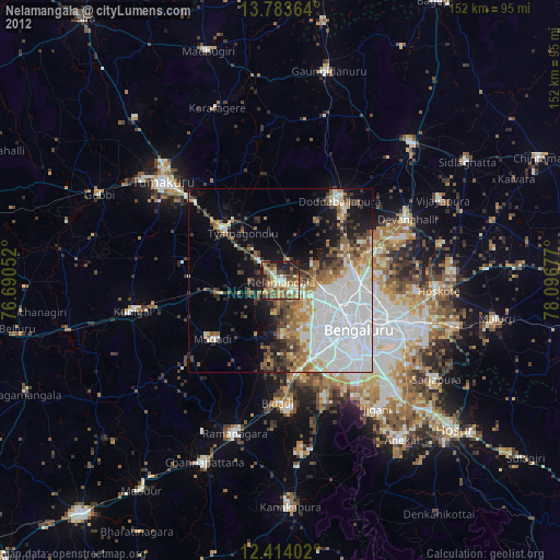
0%Square area 50x50 km:
15.72%90-99
10.37%80-89
9.02%70-79
4.46%60-69
5.88%50-59
8.27%40-49
7.77%30-39
8.18%20-29
7.91%10-19
11.68%0-9
10.74%Clear (daylight) street map image can be seen on geolist.org.
Map coordinates:
13° 47' 1.1" North, 76° 41' 25.9" East
13° 5' 59.2" North, 77° 23' 37.1" East
12° 24' 50.5" North, 78° 5' 48.4" East
Some cities around Nelamangala sort by population:
• Bengaluru
25.9 km =16.1 mi,  123°
123°
• Tumkūr
41.4 km =25.7 mi,  310°
310°
• Yelahanka
21.9 km =13.6 mi,  89°
89°
• Closepet
43.7 km =27.2 mi,  196°
196°
• Dod Ballāpur
26.7 km =16.6 mi,  35°
35°
• Kunigal
40.8 km =25.4 mi,  257°
257°
• Māgadi
24.3 km =15.1 mi,  229°
229°
• Devanhalli
38.1 km =23.7 mi,  64°
64°
1261539 (p: 28,697)
Sources (retrieved 2019-11-25):
» Earth at Night: Flat Maps 2012, 2016