Malavalli night lights from space
Night Light of Malavalli (Karnataka) from space (India) Src. Average luminocity for 10x10km area is 25.2045% and for 50x50km: 11.162%.
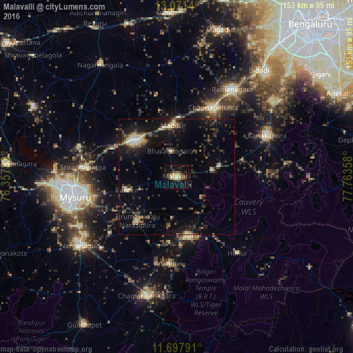
Analysis of Malavalli night lights 2016
Square area 10x10 km:
 0%
0%90-99
3.51%80-89
4.96%70-79
2.69%60-69
2.07%50-59
4.55%40-49
4.96%30-39
9.09%20-29
5.17%10-19
21.69%0-9
41.32%Square area 50x50 km:
0.33%90-99
1.29%80-89
1.3%70-79
0.74%60-69
1.03%50-59
1.57%40-49
2.33%30-39
3.1%20-29
4.39%10-19
9.78%0-9
74.14%Clear (daylight) street map image can be seen on geolist.org.
Map coordinates:
13° 4' 17" North, 76° 21' 26.4" East
12° 23' 8" North, 77° 3' 37.6" East
11° 41' 52.5" North, 77° 45' 48.9" East
Some cities around Malavalli sort by population:
• Mandya
23.3 km =14.5 mi,  310°
310°
• Channapatna
33.6 km =20.9 mi,  28°
28°
• Kollegāl
26.3 km =16.3 mi,  168°
168°
• Maddūr
22 km =13.7 mi,  355°
355°
• Bannūr
22.3 km =13.9 mi,  254°
254°
• Shrīrangapattana
41 km =25.5 mi,  275°
275°
• Tirumakūdal Narsipur
25.9 km =16.1 mi,  221°
221°
• Yelandūr
37.9 km =23.5 mi,  184°
184°
1264136 (p: 38,129)
Sources (retrieved 2019-11-25):
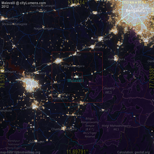
» Earth at Night: Flat Maps 2012, 2016