Maddūr night lights from space
Night Light of Maddūr (Karnataka) from space (India) Src. Average luminocity for 10x10km area is 32% and for 50x50km: 13.0858%.
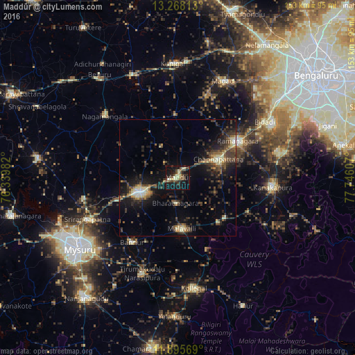
Analysis of Maddūr night lights 2016
Square area 10x10 km:
 0%
0%90-99
5.84%80-89
6.49%70-79
1.08%60-69
3.25%50-59
6.28%40-49
10.82%30-39
5.41%20-29
10.82%10-19
37.23%0-9
12.77%Square area 50x50 km:
0.39%90-99
1.61%80-89
1.75%70-79
0.88%60-69
1.11%50-59
2.09%40-49
3.25%30-39
4.1%20-29
5.09%10-19
11.1%0-9
68.63%Clear (daylight) street map image can be seen on geolist.org.
Map coordinates:
13° 16' 5.3" North, 76° 20' 23.4" East
12° 34' 58.2" North, 77° 2' 34.6" East
11° 53' 44.5" North, 77° 44' 45.9" East
Some cities around Maddūr sort by population:
• Mandya
17.2 km =10.7 mi,  246°
246°
• Closepet
30.1 km =18.7 mi,  59°
59°
• Channapatna
19.3 km =12 mi,  66°
66°
• Kānkānhalli
41.1 km =25.5 mi,  95°
95°
• Malavalli
22 km =13.7 mi,  175°
175°
• Bannūr
34 km =21.1 mi,  215°
215°
• French Rocks
41 km =25.5 mi,  257°
257°
• Nāgamangala
40.9 km =25.4 mi,  310°
310°
1264592 (p: 28,141)
Sources (retrieved 2019-11-25):
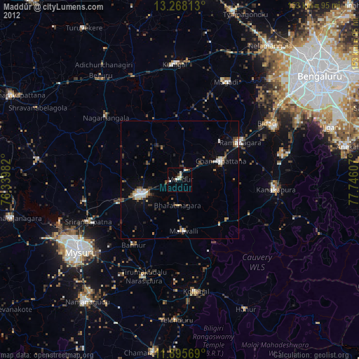
» Earth at Night: Flat Maps 2012, 2016