Kunigal night lights from space
Night Light of Kunigal (Karnataka) from space (India) Src. Average luminocity for 10x10km area is 27.5303% and for 50x50km: 10.2031%.
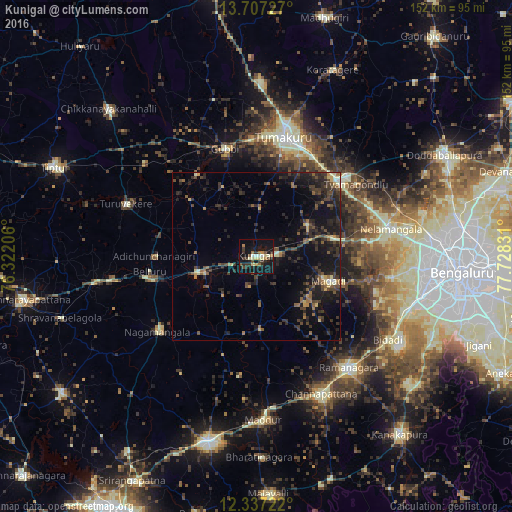
Analysis of Kunigal night lights 2016
Square area 10x10 km:
 1.08%
1.08%90-99
3.9%80-89
6.06%70-79
1.08%60-69
4.33%50-59
2.6%40-49
3.9%30-39
9.52%20-29
4.11%10-19
37.45%0-9
25.97%Square area 50x50 km:
0.14%90-99
0.65%80-89
1.05%70-79
0.69%60-69
1.05%50-59
1.76%40-49
2.57%30-39
3.45%20-29
5%10-19
10.2%0-9
73.43%Clear (daylight) street map image can be seen on geolist.org.
Map coordinates:
13° 42' 26.2" North, 76° 19' 19.4" East
13° 1' 23.5" North, 77° 1' 30.6" East
12° 20' 14" North, 77° 43' 41.9" East
Some cities around Kunigal sort by population:
• Tumkūr
36.3 km =22.6 mi,  13°
13°
• Closepet
43.5 km =27 mi,  140°
140°
• Nelamangala
40.8 km =25.4 mi,  77°
77°
• Māgadi
22.7 km =14.1 mi,  108°
108°
• Gubbi
33.4 km =20.8 mi,  344°
344°
• Nāgamangala
37.1 km =23.1 mi,  232°
232°
• Turuvekere
41.9 km =26 mi,  291°
291°
• Bellūru
32 km =19.9 mi,  261°
261°
1265591 (p: 33,273)
Sources (retrieved 2019-11-25):
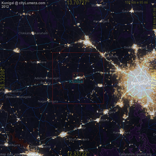
» Earth at Night: Flat Maps 2012, 2016