Kānkānhalli night lights from space
Night Light of Kānkānhalli (Karnataka) from space (India) Src. Average luminocity for 10x10km area is 38.5909% and for 50x50km: 18.5007%.
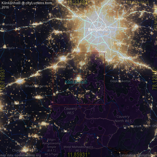
Analysis of Kānkānhalli night lights 2016
Square area 10x10 km:
 2.38%
2.38%90-99
4.98%80-89
8.87%70-79
1.95%60-69
6.71%50-59
6.49%40-49
7.58%30-39
6.71%20-29
15.15%10-19
35.93%0-9
3.25%Square area 50x50 km:
0.35%90-99
1.74%80-89
2.13%70-79
1.26%60-69
2.02%50-59
4.85%40-49
6.69%30-39
6.48%20-29
8.02%10-19
10.21%0-9
56.24%Clear (daylight) street map image can be seen on geolist.org.
Map coordinates:
13° 13' 55" North, 76° 43' 0.9" East
12° 32' 47.5" North, 77° 25' 12.2" East
11° 51' 33.5" North, 78° 7' 23.4" East
Some cities around Kānkānhalli sort by population:
• Hosūr
49.5 km =30.8 mi,  64°
64°
• Closepet
24.6 km =15.3 mi,  322°
322°
• Channapatna
25.9 km =16.1 mi,  296°
296°
• Malavalli
42.9 km =26.7 mi,  245°
245°
• Anekal
35 km =21.7 mi, 58°
• Maddūr
41.1 km =25.5 mi,  275°
275°
• Denkanikota
40.1 km =24.9 mi,  92°
92°
• Kelamangalam
47.3 km =29.4 mi,  82°
82°
1268189 (p: 50,752)
Sources (retrieved 2019-11-25):
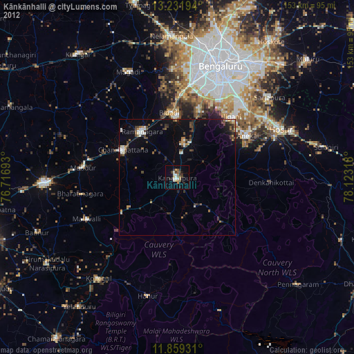
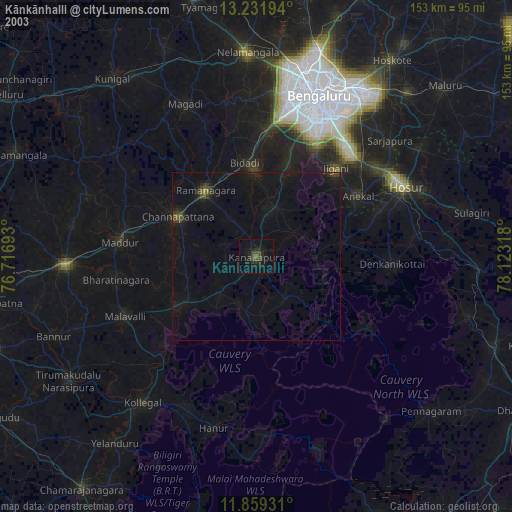
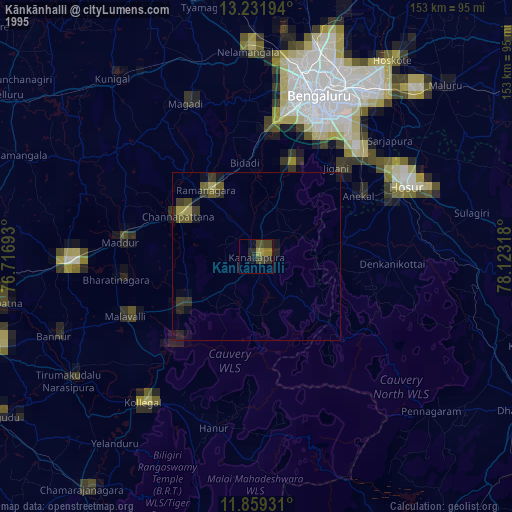
» NASA, Earths city lights 1995
» NASA city lights 2003
» Earth at Night: Flat Maps 2012, 2016