Chincholi night lights from space
Night Light of Chincholi (Karnataka) from space (India) Src. Average luminocity for 10x10km area is 16.7707% and for 50x50km: 11.329%.
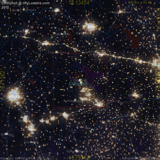
Analysis of Chincholi night lights 2016
Square area 10x10 km:
 1.45%
1.45%90-99
2.27%80-89
0.62%70-79
2.27%60-69
2.48%50-59
2.27%40-49
3.31%30-39
2.89%20-29
1.03%10-19
16.12%0-9
65.29%Square area 50x50 km:
0.99%90-99
1.33%80-89
1.05%70-79
0.84%60-69
1.53%50-59
1.98%40-49
2.26%30-39
3.31%20-29
3.91%10-19
8.19%0-9
74.61%Clear (daylight) street map image can be seen on geolist.org.
Map coordinates:
18° 8' 4.3" North, 76° 42' 56.2" East
17° 27' 54.3" North, 77° 25' 7.5" East
16° 47' 35.3" North, 78° 7' 18.7" East
Some cities around Chincholi sort by population:
• Bīdar
51.2 km =31.8 mi,  13°
13°
• Tāndūr
29.4 km =18.3 mi,  145°
145°
• Zahirābād
31.3 km =19.4 mi,  39°
39°
• Vikārābād
53.4 km =33.2 mi,  105°
105°
• Homnābād
46.1 km =28.6 mi,  317°
317°
• Seram
34.7 km =21.6 mi,  203°
203°
• Chītāpur
52.1 km =32.4 mi,  223°
223°
• Kurgunta
30.9 km =19.2 mi,  192°
192°
1274169 (p: 20,447)
Sources (retrieved 2019-11-25):
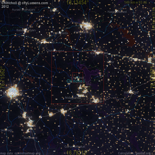
» Earth at Night: Flat Maps 2012, 2016