Tāndūr night lights from space
Night Light of Tāndūr (Telangana) from space (India) Src. Average luminocity for 10x10km area is 41.8884% and for 50x50km: 13.5365%.
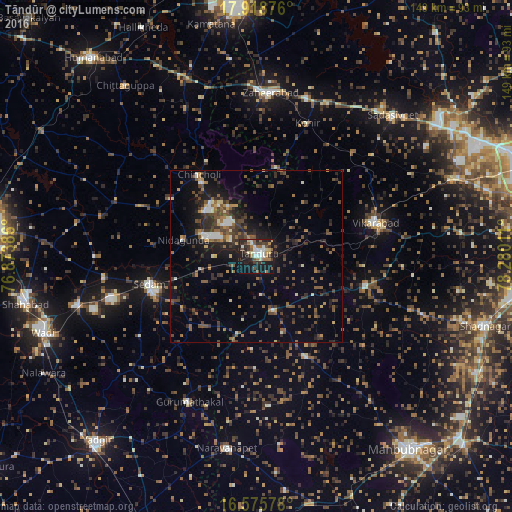
Analysis of Tāndūr night lights 2016
Square area 10x10 km:
 5.79%
5.79%90-99
7.85%80-89
5.37%70-79
2.89%60-69
8.06%50-59
5.79%40-49
4.96%30-39
10.33%20-29
10.74%10-19
31.61%0-9
6.61%Square area 50x50 km:
0.85%90-99
1.31%80-89
0.88%70-79
0.89%60-69
1.99%50-59
2.67%40-49
3.36%30-39
3.94%20-29
4.04%10-19
9.1%0-9
70.96%Clear (daylight) street map image can be seen on geolist.org.
Map coordinates:
17° 55' 7.5" North, 76° 52' 25.9" East
17° 14' 54.6" North, 77° 34' 37.1" East
16° 34' 32.8" North, 78° 16' 48.4" East
Some cities around Tāndūr sort by population:
• Zahirābād
48.2 km =30 mi,  3°
3°
• Vikārābād
36.2 km =22.5 mi,  74°
74°
• Nārāyanpet
56.3 km =35 mi,  188°
188°
• Seram
31.5 km =19.6 mi,  255°
255°
• Chītāpur
54.3 km =33.7 mi, 255°
• Chincholi
29.4 km =18.3 mi,  325°
325°
• Gurmatkāl
46.7 km =29 mi,  205°
205°
• Kurgunta
24.1 km =15 mi, 255°
1255004 (p: 63,239)
Sources (retrieved 2019-11-25):
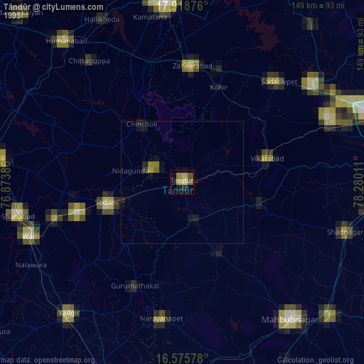
» NASA, Earths city lights 1995
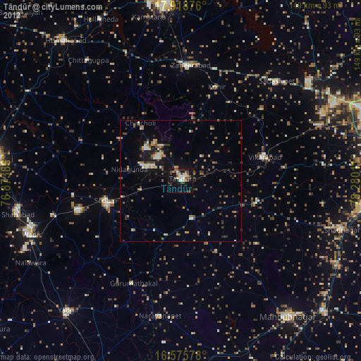
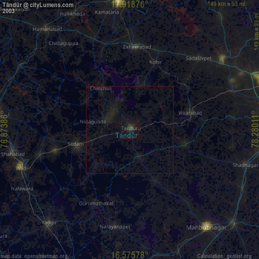
» NASA city lights 2003
» Earth at Night: Flat Maps 2012, 2016