Bīdar night lights from space
Night Light of Bīdar (Karnataka) from space (India) Src. Average luminocity for 10x10km area is 66.0606% and for 50x50km: 9.8693%.
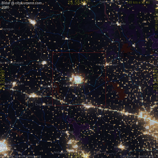
Analysis of Bīdar night lights 2016
Square area 10x10 km:
 16.88%
90-99
19.7%80-89
7.36%70-79
9.74%60-69
3.68%50-59
6.06%40-49
8.66%30-39
9.09%20-29
12.12%10-19
6.49%0-9
0.22%Square area 50x50 km:
0.87%90-99
1.11%80-89
0.62%70-79
1.39%60-69
1.01%50-59
1.57%40-49
1.86%30-39
2.13%20-29
3.96%10-19
6.56%0-9
78.92%Clear (daylight) street map image can be seen on geolist.org.
Map coordinates:
18° 34' 51.9" North, 76° 49' 37.2" East
17° 54' 47.9" North, 77° 31' 48.4" East
17° 14' 34.9" North, 78° 13' 59.7" East
Some cities around Bīdar sort by population:
• Zahirābād
27.1 km =16.8 mi,  162°
162°
• Homnābād
45.7 km =28.4 mi,  249°
249°
• Bhālki
37.2 km =23.1 mi,  292°
292°
• Sadāseopet
55.4 km =34.4 mi,  126°
126°
• Andol
58.9 km =36.6 mi,  100°
100°
• Chincholi
51.2 km =31.8 mi,  193°
193°
• Aurād
39.7 km =24.7 mi,  342°
342°
• Chandūr
60.5 km =37.6 mi,  94°
94°
1275738 (p: 204,071)
Sources (retrieved 2019-11-25):
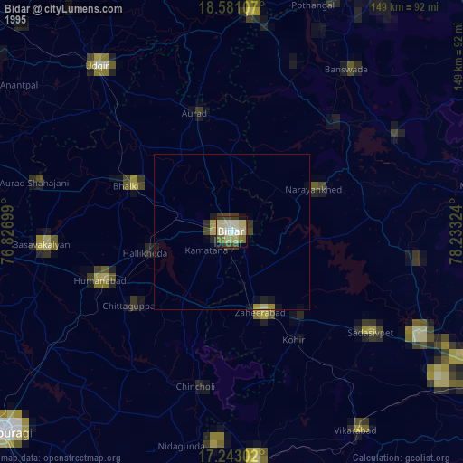
» NASA, Earths city lights 1995
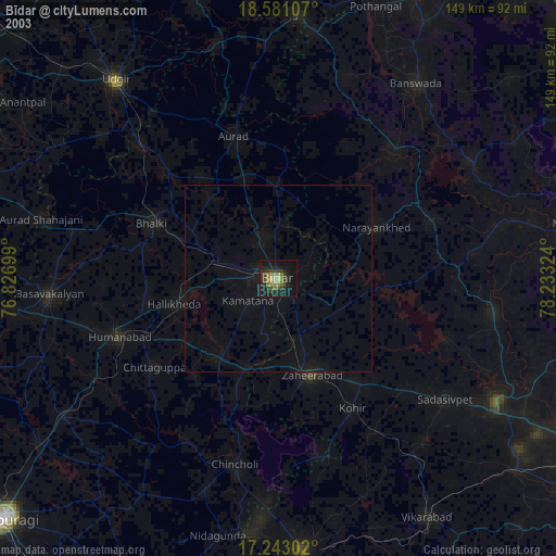
» NASA city lights 2003
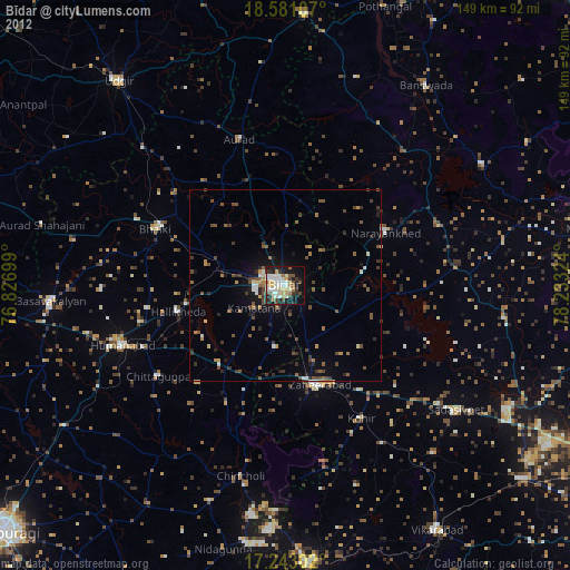
» Earth at Night: Flat Maps 2012, 2016