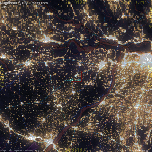
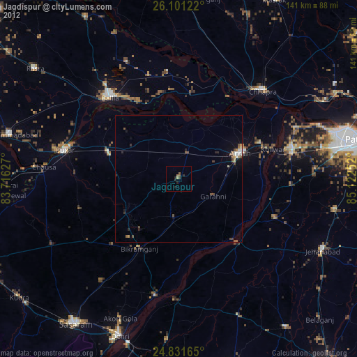
Jagdīspur night lights from space
Night Light of Jagdīspur (Bihar) from space (India) Src. Average luminocity for 10x10km area is 26.4583% and for 50x50km: 22.0938%.
Analysis of Jagdīspur night lights 2016
Square area 10x10 km:
 1.59%
1.59%90-99
1.79%80-89
2.98%70-79
2.18%60-69
1.98%50-59
5.56%40-49
5.95%30-39
8.53%20-29
8.93%10-19
49.21%0-9
11.31%Square area 50x50 km:
0.98%90-99
1.68%80-89
1.44%70-79
1.92%60-69
2.35%50-59
4.24%40-49
6.16%30-39
6.56%20-29
11.25%10-19
26.62%0-9
36.8%Clear (daylight) street map image can be seen on geolist.org.
Map coordinates:
26° 6' 4.4" North, 83° 42' 58.6" East
25° 28' 5.2" North, 84° 25' 9.8" East
24° 49' 53.9" North, 85° 7' 21.1" East
Some cities around Jagdīspur sort by population:
• Arrah
26.4 km =16.4 mi,  68°
68°
• Dumraon
28.5 km =17.7 mi,  289°
289°
• Bikramganj
33 km =20.5 mi,  209°
209°
• Revelganj
41.8 km =26 mi,  31°
31°
• Piro
15.2 km =9.4 mi,  185°
185°
• Koelwār
39.9 km =24.8 mi, 71°
• Koāth
22.5 km =14 mi,  225°
225°
• Shāhpur
15.1 km =9.4 mi,  354°
354°
1269573 (p: 31,029)
Sources (retrieved 2019-11-25):
» Earth at Night: Flat Maps 2012, 2016