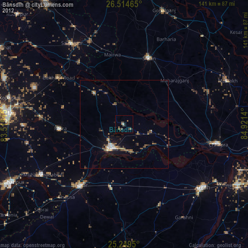
Bānsdīh night lights from space
Night Light of Bānsdīh (Uttar Pradesh) from space (India) Src. Average luminocity for 10x10km area is 23.6515% and for 50x50km: 20.9523%.

Analysis of Bānsdīh night lights 2016
Square area 10x10 km:
 0.38%
0.38%90-99
0.76%80-89
1.7%70-79
2.46%60-69
5.11%50-59
3.03%40-49
5.11%30-39
4.92%20-29
10.42%10-19
50.19%0-9
15.91%Square area 50x50 km:
1.1%90-99
1.64%80-89
1.54%70-79
2.08%60-69
2.85%50-59
3.37%40-49
5.14%30-39
6.54%20-29
10.29%10-19
24.44%0-9
41.02%Clear (daylight) street map image can be seen on geolist.org.
Map coordinates:
26° 30' 52.7" North, 83° 30' 54.5" East
25° 53' 1.6" North, 84° 13' 5.8" East
25° 14' 58.2" North, 84° 55' 17" East
Some cities around Bānsdīh sort by population:
• Dumraon
37.4 km =23.2 mi,  190°
190°
• Rasrā
36.5 km =22.7 mi,  265°
265°
• Sikandarpur
24.2 km =15 mi,  317°
317°
• Reoti
16.4 km =10.2 mi,  102°
102°
• Mahārājgani
38 km =23.6 mi,  48°
48°
• Maniar
12.2 km =7.6 mi,  337°
337°
• Mairwa
39.1 km =24.3 mi,  351°
351°
• Shāhpur
36.4 km =22.6 mi,  149°
149°
1277238 (p: 21,457)
Sources (retrieved 2019-11-25):
» Earth at Night: Flat Maps 2012, 2016