Dīglūr night lights from space
Night Light of Dīglūr (Maharashtra) from space (India) Src. Average luminocity for 10x10km area is 14.7355% and for 50x50km: 3.2853%.
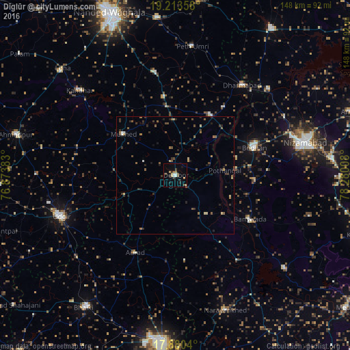


Analysis of Dīglūr night lights 2016
Square area 10x10 km:
 2.07%
2.07%90-99
1.24%80-89
2.89%70-79
0.83%60-69
1.45%50-59
2.89%40-49
1.65%30-39
1.03%20-29
3.93%10-19
1.86%0-9
80.17%Square area 50x50 km:
0.17%90-99
0.12%80-89
0.43%70-79
0.18%60-69
0.52%50-59
0.66%40-49
0.85%30-39
0.99%20-29
1.03%10-19
0.79%0-9
94.26%Clear (daylight) street map image can be seen on geolist.org.
Map coordinates:
19° 12' 48.9" North, 76° 52' 25.8" East
18° 32' 53.8" North, 77° 34' 37" East
17° 52' 49.4" North, 78° 16' 48.3" East
Some cities around Dīglūr sort by population:
• Udgīr
51.4 km =31.9 mi,  250°
250°
• Bodhan
34.9 km =21.7 mi,  68°
68°
• Dharmābād
47.7 km =29.6 mi,  36°
36°
• Mukher
28.2 km =17.5 mi,  308°
308°
• Bānswāda
37.2 km =23.1 mi,  120°
120°
• Aurād
36.8 km =22.9 mi,  207°
207°
• Kondalwādi
35.3 km =21.9 mi, 35°
• Biloli
29.5 km =18.3 mi,  31°
31°
1272606 (p: 52,596)
Sources (retrieved 2019-11-25):
» NASA, Earths city lights 1995
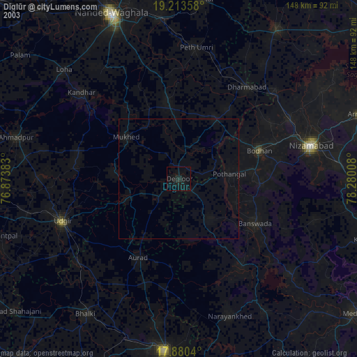
» NASA city lights 2003
» Earth at Night: Flat Maps 2012, 2016