Bhongaon night lights from space
Night Light of Bhongaon (Uttar Pradesh) from space (India) Src. Average luminocity for 10x10km area is 20.3011% and for 50x50km: 15.8673%.
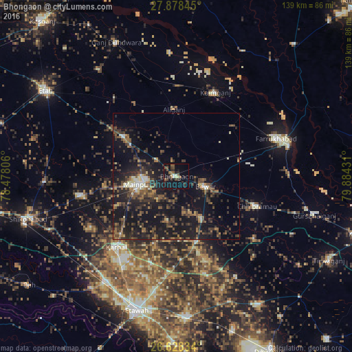
Analysis of Bhongaon night lights 2016
Square area 10x10 km:
 0.57%
0.57%90-99
1.7%80-89
2.27%70-79
0%60-69
3.41%50-59
4.92%40-49
3.03%30-39
4.92%20-29
9.47%10-19
23.3%0-9
46.4%Square area 50x50 km:
0.57%90-99
1.22%80-89
1.21%70-79
1.08%60-69
2.51%50-59
3.17%40-49
4.48%30-39
4.38%20-29
6.66%10-19
20.04%0-9
54.68%Clear (daylight) street map image can be seen on geolist.org.
Map coordinates:
27° 52' 42.4" North, 78° 28' 41" East
27° 15' 18.5" North, 79° 10' 52.2" East
26° 37' 42" North, 79° 53' 3.5" East
Some cities around Bhongaon sort by population:
• Mainpuri
15.3 km =9.5 mi,  258°
258°
• Chhibrāmau
33.7 km =20.9 mi,  110°
110°
• Kaimganj
36.6 km =22.7 mi,  24°
24°
• Karhal
37 km =23 mi,  220°
220°
• Alīganj
26.5 km =16.5 mi,  357°
357°
• Bewar
12.2 km =7.6 mi, 109°
• Muhammadābād
25.5 km =15.8 mi,  76°
76°
• Kishni
26.8 km =16.7 mi,  162°
162°
1275849 (p: 29,911)
Sources (retrieved 2019-11-25):
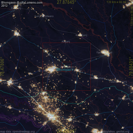
» Earth at Night: Flat Maps 2012, 2016