Bewar night lights from space
Night Light of Bewar (Uttar Pradesh) from space (India) Src. Average luminocity for 10x10km area is 26.2008% and for 50x50km: 13.6622%.
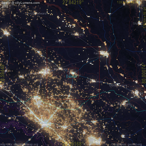
Analysis of Bewar night lights 2016
Square area 10x10 km:
 1.7%
1.7%90-99
2.08%80-89
1.52%70-79
2.27%60-69
4.73%50-59
6.44%40-49
8.9%30-39
3.98%20-29
9.28%10-19
28.79%0-9
30.3%Square area 50x50 km:
0.43%90-99
0.87%80-89
0.98%70-79
1.22%60-69
2.11%50-59
2.6%40-49
3.59%30-39
3.99%20-29
5.71%10-19
15.66%0-9
62.83%Clear (daylight) street map image can be seen on geolist.org.
Map coordinates:
27° 50' 31.9" North, 78° 35' 40.2" East
27° 13' 7.3" North, 79° 17' 51.4" East
26° 35' 30" North, 80° 0' 2.7" East
Some cities around Bewar sort by population:
• Mainpuri
26.6 km =16.5 mi,  272°
272°
• Chhibrāmau
21.5 km =13.4 mi,  111°
111°
• Bhongaon
12.2 km =7.6 mi,  289°
289°
• Alīganj
33 km =20.5 mi,  337°
337°
• Muhammadābād
16.7 km =10.4 mi,  53°
53°
• Kamalganj
33.3 km =20.7 mi,  81°
81°
• Saurikh
28.2 km =17.5 mi,  137°
137°
• Kishni
21.8 km =13.5 mi,  189°
189°
1276381 (p: 23,280)
Sources (retrieved 2019-11-25):
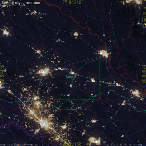
» Earth at Night: Flat Maps 2012, 2016