Kaimganj night lights from space
Night Light of Kaimganj (Uttar Pradesh) from space (India) Src. Average luminocity for 10x10km area is 15.8373% and for 50x50km: 4.9819%.
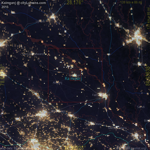
Analysis of Kaimganj night lights 2016
Square area 10x10 km:
 0.4%
0.4%90-99
2.38%80-89
1.98%70-79
1.19%60-69
0.4%50-59
3.57%40-49
3.57%30-39
2.78%20-29
1.98%10-19
9.72%0-9
72.02%Square area 50x50 km:
0.21%90-99
0.72%80-89
0.93%70-79
1.13%60-69
0.34%50-59
0.31%40-49
0.51%30-39
0.52%20-29
0.51%10-19
2.93%0-9
91.87%Clear (daylight) street map image can be seen on geolist.org.
Map coordinates:
28° 10' 33.6" North, 78° 37' 55.7" East
27° 33' 15.9" North, 79° 20' 6.9" East
26° 55' 45.4" North, 80° 2' 18.2" East
Some cities around Kaimganj sort by population:
• Farrukhābād
30.1 km =18.7 mi,  126°
126°
• Alīganj
17.5 km =10.9 mi,  247°
247°
• Shamsābād
10.3 km =6.4 mi,  100°
100°
• Muhammadābād
28.9 km =18 mi,  160°
160°
• Usehat
28.7 km =17.8 mi,  340°
340°
• Fatehgarh
36.1 km =22.4 mi, 125°
• Allāhganj
34.7 km =21.6 mi,  91°
91°
• Kampil
8.7 km =5.4 mi,  318°
318°
1268616 (p: 32,858)
Sources (retrieved 2019-11-25):
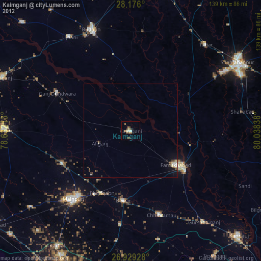
» Earth at Night: Flat Maps 2012, 2016