Karhal night lights from space
Night Light of Karhal (Uttar Pradesh) from space (India) Src. Average luminocity for 10x10km area is 70.7183% and for 50x50km: 35.4765%.
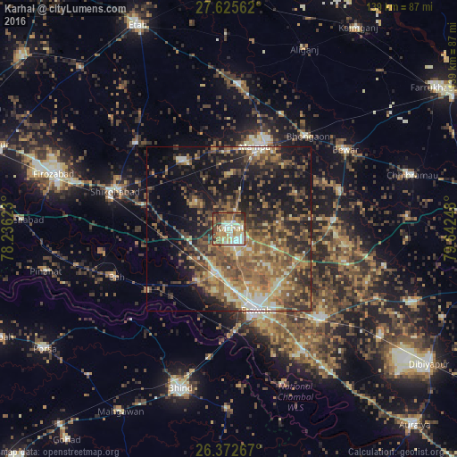
Analysis of Karhal night lights 2016
Square area 10x10 km:
 12.7%
12.7%90-99
16.87%80-89
13.69%70-79
9.92%60-69
14.68%50-59
9.33%40-49
9.92%30-39
7.94%20-29
4.96%10-19
0%0-9
0%Square area 50x50 km:
2%90-99
3.9%80-89
5.03%70-79
4.78%60-69
7.46%50-59
9.07%40-49
8.91%30-39
7.3%20-29
9.3%10-19
18.46%0-9
23.79%Clear (daylight) street map image can be seen on geolist.org.
Map coordinates:
27° 37' 32.2" North, 78° 14' 10.4" East
27° 0' 3.2" North, 78° 56' 21.7" East
26° 22' 21.6" North, 79° 38' 32.9" East
Some cities around Karhal sort by population:
• Etāwah
26.3 km =16.3 mi,  161°
161°
• Shikohābād
36.9 km =22.9 mi,  288°
288°
• Mainpuri
26.8 km =16.7 mi,  19°
19°
• Sirsāganj
25.8 km =16 mi,  284°
284°
• Jaswantnagar
13.6 km =8.5 mi,  195°
195°
• Ghiror
25.4 km =15.8 mi,  325°
325°
• Sarai Ekdil
32.4 km =20.1 mi,  151°
151°
• Kishni
32.1 km =19.9 mi,  85°
85°
1267772 (p: 26,693)
Sources (retrieved 2019-11-25):
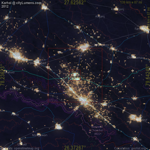
» Earth at Night: Flat Maps 2012, 2016