Chhibrāmau night lights from space
Night Light of Chhibrāmau (Uttar Pradesh) from space (India) Src. Average luminocity for 10x10km area is 17.2784% and for 50x50km: 10.8537%.
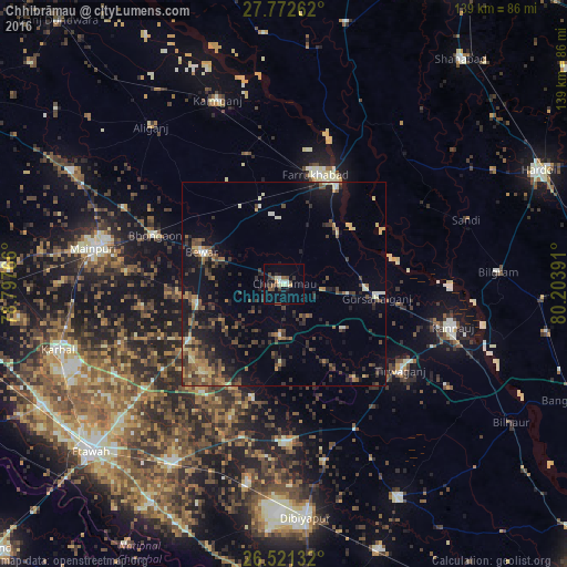
Analysis of Chhibrāmau night lights 2016
Square area 10x10 km:
 0.95%
0.95%90-99
3.41%80-89
1.7%70-79
1.14%60-69
0.95%50-59
2.84%40-49
3.6%30-39
4.55%20-29
3.03%10-19
5.49%0-9
72.35%Square area 50x50 km:
0.3%90-99
0.87%80-89
1.27%70-79
0.93%60-69
1.7%50-59
1.79%40-49
2.88%30-39
2.86%20-29
3.65%10-19
7.64%0-9
76.11%Clear (daylight) street map image can be seen on geolist.org.
Map coordinates:
27° 46' 21.4" North, 78° 47' 51.6" East
27° 8' 55.4" North, 79° 30' 2.8" East
26° 31' 16.8" North, 80° 12' 14.1" East
Some cities around Chhibrāmau sort by population:
• Gursahāiganj
23.2 km =14.4 mi,  99°
99°
• Bewar
21.5 km =13.4 mi,  291°
291°
• Muhammadābād
19.1 km =11.9 mi,  339°
339°
• Kamalganj
18 km =11.2 mi,  45°
45°
• Fatehgarh
27.2 km =16.9 mi,  28°
28°
• Saurikh
13.2 km =8.2 mi,  185°
185°
• Tālgrām
18.4 km =11.4 mi,  127°
127°
• Kishni
27.4 km =17 mi,  239°
239°
1274315 (p: 57,071)
Sources (retrieved 2019-11-25):
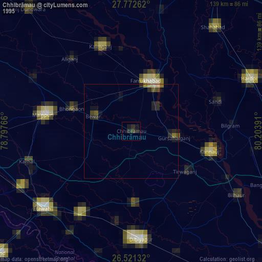
» NASA, Earths city lights 1995
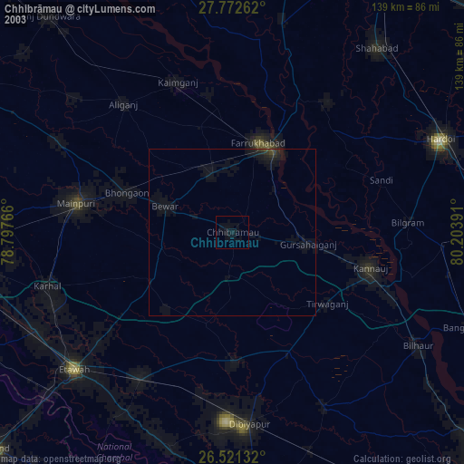
» NASA city lights 2003
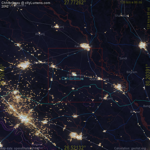
» Earth at Night: Flat Maps 2012, 2016