Chīpurupalle night lights from space
Night Light of Chīpurupalle (Andhra Pradesh) from space (India) Src. Average luminocity for 10x10km area is 17.4153% and for 50x50km: 7.9086%.
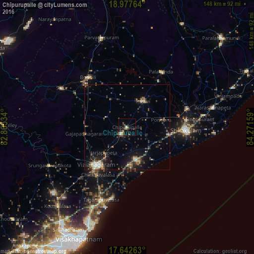
Analysis of Chīpurupalle night lights 2016
Square area 10x10 km:
 1.03%
1.03%90-99
3.1%80-89
1.24%70-79
1.65%60-69
3.31%50-59
2.48%40-49
5.79%30-39
2.69%20-29
2.27%10-19
8.88%0-9
67.56%Square area 50x50 km:
0.36%90-99
1.25%80-89
0.51%70-79
0.46%60-69
0.93%50-59
1.47%40-49
2.01%30-39
1.84%20-29
2.79%10-19
5.47%0-9
82.91%Clear (daylight) street map image can be seen on geolist.org.
Map coordinates:
18° 58' 39.5" North, 82° 51' 55.2" East
18° 18' 41.1" North, 83° 34' 6.5" East
17° 38' 33.5" North, 84° 16' 17.7" East
Some cities around Chīpurupalle sort by population:
• Vizianagaram
27.3 km =17 mi,  217°
217°
• Srikakulam
34.8 km =21.6 mi,  92°
92°
• Bobbili
36.6 km =22.7 mi,  322°
322°
• Sālūr
44.6 km =27.7 mi,  300°
300°
• Bhīmunipatnam
48.4 km =30.1 mi,  194°
194°
• Amudālavalasa
37 km =23 mi,  72°
72°
• Pālkonda
38 km =23.6 mi,  31°
31°
• Rāzām
18.1 km =11.2 mi, 32°
1274116 (p: 25,898)
Sources (retrieved 2019-11-25):
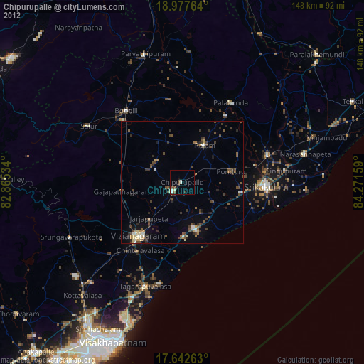
» Earth at Night: Flat Maps 2012, 2016