Bhādra night lights from space
Night Light of Bhādra (Rajasthan) from space (India) Src. Average luminocity for 10x10km area is 4.5079% and for 50x50km: 0.4232%.
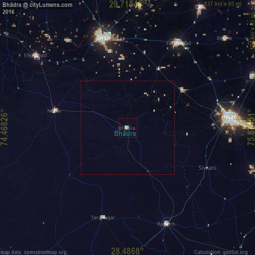
Analysis of Bhādra night lights 2016
Square area 10x10 km:
 0.2%
0.2%90-99
1.39%80-89
1.59%70-79
0%60-69
0.4%50-59
0.6%40-49
0.6%30-39
0%20-29
0.79%10-19
0%0-9
94.44%Square area 50x50 km:
0.01%90-99
0.1%80-89
0.08%70-79
0.11%60-69
0.11%50-59
0.02%40-49
0.02%30-39
0.03%20-29
0.03%10-19
0%0-9
99.49%Clear (daylight) street map image can be seen on geolist.org.
Map coordinates:
29° 42' 55.8" North, 74° 28' 5.7" East
29° 6' 10.7" North, 75° 10' 17" East
28° 29' 12.5" North, 75° 52' 28.2" East
Some cities around Bhādra sort by population:
• Gorakhpur
61.9 km =38.5 mi,  51°
51°
• Hisar
53.9 km =33.5 mi,  83°
83°
• Sirsa
50 km =31.1 mi,  343°
343°
• Fatehābād
53.5 km =33.2 mi,  31°
31°
• Rājgarh
55.4 km =34.4 mi,  157°
157°
• Nohar
39.9 km =24.8 mi,  282°
282°
• Tārānagar
50.2 km =31.2 mi,  195°
195°
• Rānia
57 km =35.4 mi,  325°
325°
1276330 (p: 37,629)
Sources (retrieved 2019-11-25):
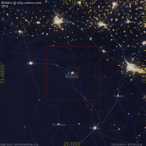
» Earth at Night: Flat Maps 2012, 2016