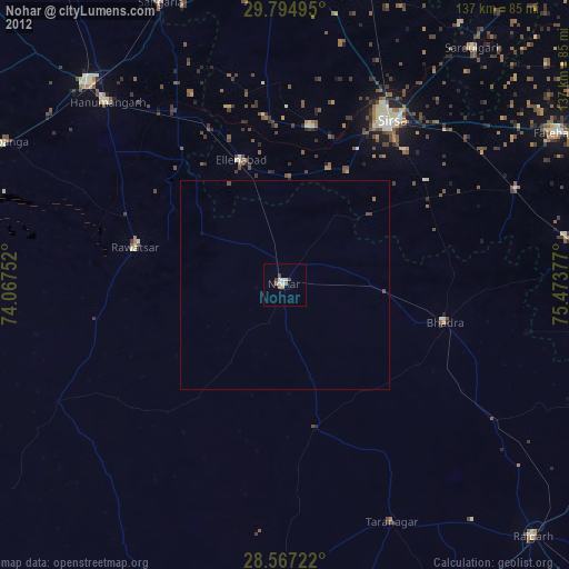
Nohar night lights from space
Night Light of Nohar (Rajasthan) from space (India) Src. Average luminocity for 10x10km area is 7.5813% and for 50x50km: 0.3584%.
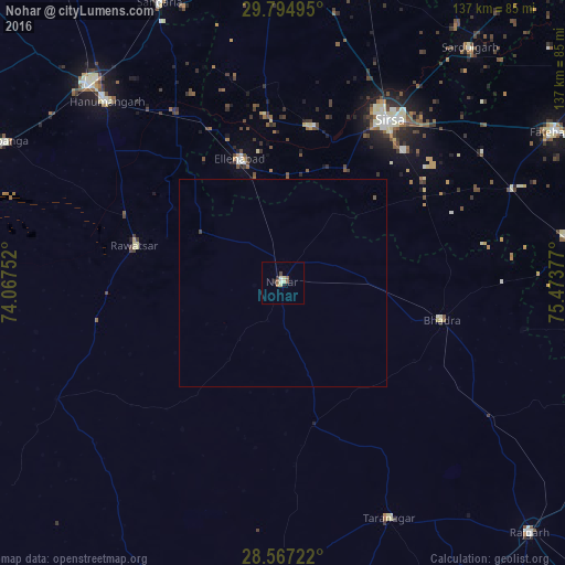
Analysis of Nohar night lights 2016
Square area 10x10 km:
 0.4%
0.4%90-99
0.99%80-89
2.58%70-79
0%60-69
0.79%50-59
2.38%40-49
0.79%30-39
0.79%20-29
1.19%10-19
0.4%0-9
89.68%Square area 50x50 km:
0.01%90-99
0.04%80-89
0.1%70-79
0%60-69
0.03%50-59
0.15%40-49
0.04%30-39
0.04%20-29
0.04%10-19
0.03%0-9
99.51%Clear (daylight) street map image can be seen on geolist.org.
Map coordinates:
29° 47' 41.8" North, 74° 4' 3.1" East
29° 10' 58.5" North, 74° 46' 14.3" East
28° 34' 2" North, 75° 28' 25.6" East
Some cities around Nohar sort by population:
• Sirsa
46.5 km =28.9 mi,  32°
32°
• Hanumāngarh
61.6 km =38.3 mi,  316°
316°
• Ellenabad
31.8 km =19.8 mi,  340°
340°
• Bhādra
39.9 km =24.8 mi,  102°
102°
• Pilibangan
71.4 km =44.4 mi,  294°
294°
• Rāwatsār
36.9 km =22.9 mi,  284°
284°
• Tārānagar
62.6 km =38.9 mi,  156°
156°
• Rānia
38.5 km =23.9 mi,  9°
9°
1261234 (p: 46,360)
Sources (retrieved 2019-11-25):
» Earth at Night: Flat Maps 2012, 2016