Phulpur night lights from space
Night Light of Phulpur (Uttar Pradesh) from space (India) Src. Average luminocity for 10x10km area is 43.8258% and for 50x50km: 36.0532%.
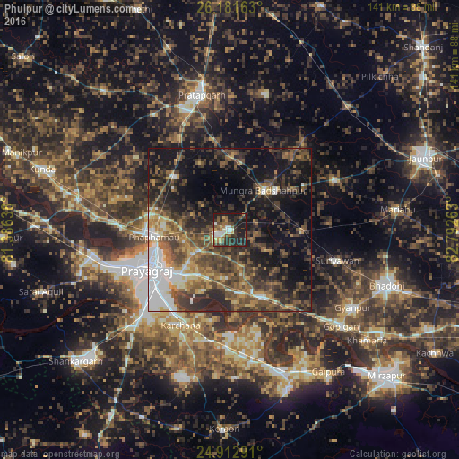
Analysis of Phulpur night lights 2016
Square area 10x10 km:
 5.3%
5.3%90-99
7.39%80-89
4.92%70-79
3.22%60-69
6.44%50-59
7.95%40-49
7.01%30-39
13.26%20-29
19.89%10-19
24.62%0-9
0%Square area 50x50 km:
4.88%90-99
4.17%80-89
2.54%70-79
3.98%60-69
5.29%50-59
7.38%40-49
9.92%30-39
10.25%20-29
11.81%10-19
19.33%0-9
20.45%Clear (daylight) street map image can be seen on geolist.org.
Map coordinates:
26° 10' 53.9" North, 81° 23' 11" East
25° 32' 56.2" North, 82° 5' 22.2" East
24° 54' 46.5" North, 82° 47' 33.5" East
Some cities around Phulpur sort by population:
• Allahābād
27.3 km =17 mi,  244°
244°
• Machhlīshahr
35.6 km =22.1 mi,  64°
64°
• Mau Aimma
23.3 km =14.5 mi,  314°
314°
• Suriānwān
34.4 km =21.4 mi,  105°
105°
• Handiā
22.8 km =14.2 mi,  154°
154°
• Jhūsi
22.2 km =13.8 mi, 236°
• Pratāpgarh
41.2 km =25.6 mi,  339°
339°
• Sirsā
31.8 km =19.8 mi,  179°
179°
1259735 (p: 22,886)
Sources (retrieved 2019-11-25):
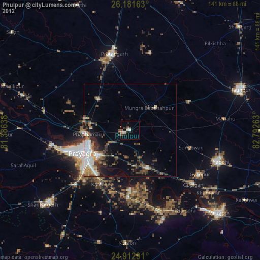
» Earth at Night: Flat Maps 2012, 2016