Begusarai night lights from space
Night Light of Begusarai (Bihar) from space (India) Src. Average luminocity for 10x10km area is 66.629% and for 50x50km: 22.6814%.
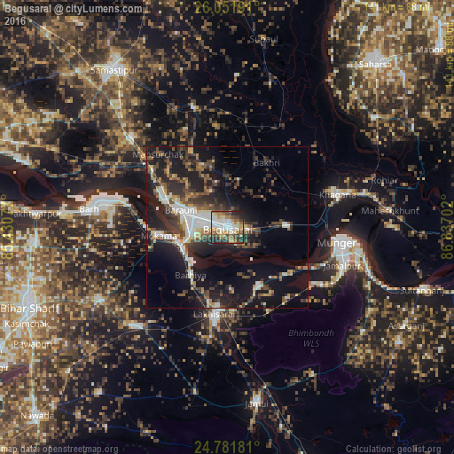
Analysis of Begusarai night lights 2016
Square area 10x10 km:
 16.67%
90-99
14.68%80-89
6.55%70-79
10.71%60-69
7.94%50-59
11.9%40-49
9.72%30-39
9.72%20-29
10.91%10-19
1.19%0-9
0%Square area 50x50 km:
3.44%90-99
3.53%80-89
1.74%70-79
2.13%60-69
2.06%50-59
3.49%40-49
4.21%30-39
5.3%20-29
8.22%10-19
18.38%0-9
47.51%Clear (daylight) street map image can be seen on geolist.org.
Map coordinates:
26° 3' 6.9" North, 85° 25' 50.8" East
25° 25' 6.7" North, 86° 8' 2" East
24° 46' 54.5" North, 86° 50' 13.3" East
Some cities around Begusarai sort by population:
• Monghyr
34.6 km =21.5 mi,  98°
98°
• Jamālpur
37.6 km =23.4 mi,  108°
108°
• Luckeesarai
27.2 km =16.9 mi,  188°
188°
• Bāruni
17.8 km =11.1 mi,  290°
290°
• Mokameh
21.4 km =13.3 mi,  263°
263°
• Khagaria
34.7 km =21.6 mi,  74°
74°
• Teghra
21 km =13 mi, 292°
• Barhiya
18.4 km =11.4 mi,  218°
218°
1276609 (p: 103,060)
Sources (retrieved 2019-11-25):
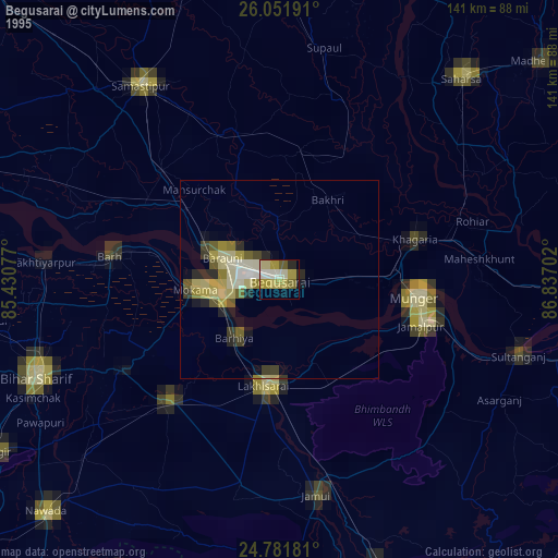
» NASA, Earths city lights 1995
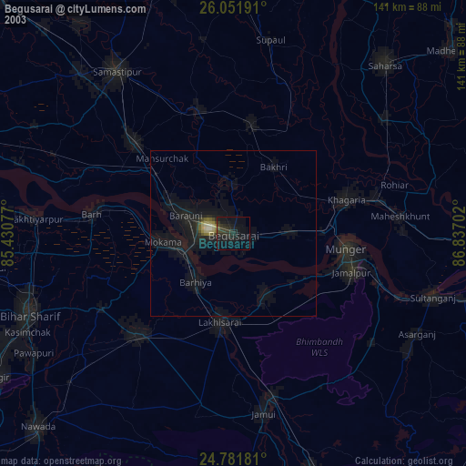
» NASA city lights 2003
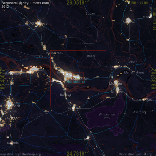
» Earth at Night: Flat Maps 2012, 2016