Bāruni night lights from space
Night Light of Bāruni (Bihar) from space (India) Src. Average luminocity for 10x10km area is 63.8611% and for 50x50km: 29.9875%.
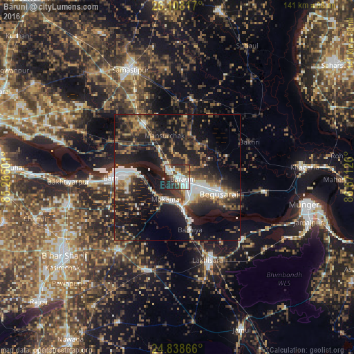
Analysis of Bāruni night lights 2016
Square area 10x10 km:
 18.25%
90-99
17.86%80-89
5.95%70-79
6.55%60-69
1.79%50-59
6.94%40-49
8.73%30-39
13.29%20-29
17.86%10-19
2.78%0-9
0%Square area 50x50 km:
4.41%90-99
4.49%80-89
2.18%70-79
2.79%60-69
3.13%50-59
4.9%40-49
5.57%30-39
7.49%20-29
12.75%10-19
25.16%0-9
27.13%Clear (daylight) street map image can be seen on geolist.org.
Map coordinates:
26° 6' 29.4" North, 85° 15' 54" East
25° 28' 30.3" North, 85° 58' 5.3" East
24° 50' 19.2" North, 86° 40' 16.5" East
Some cities around Bāruni sort by population:
• Begusarai
17.8 km =11.1 mi,  110°
110°
• Mokameh
9.9 km =6.2 mi,  208°
208°
• Bārh
26 km =16.2 mi,  272°
272°
• Teghra
3.3 km =2.1 mi,  301°
301°
• Barhiya
21.4 km =13.3 mi,  165°
165°
• Rusera
31.5 km =19.6 mi,  10°
10°
• Dalsingh Sarai
25.2 km =15.7 mi,  328°
328°
• Mohiuddinnagar
31.9 km =19.8 mi,  290°
290°
1276829 (p: 84,888)
Sources (retrieved 2019-11-25):
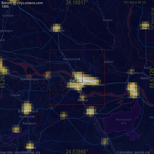
» NASA, Earths city lights 1995
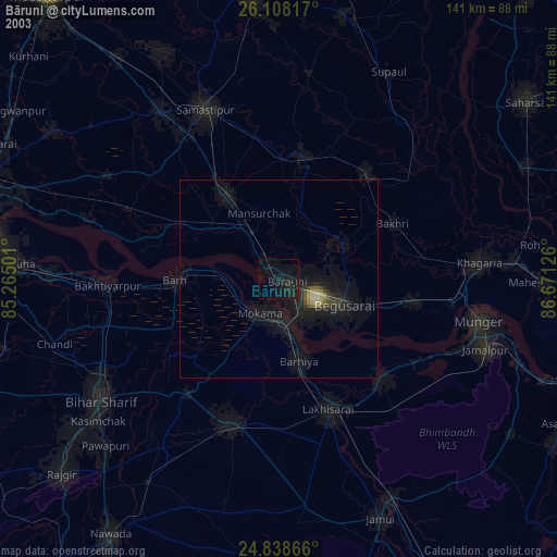
» NASA city lights 2003
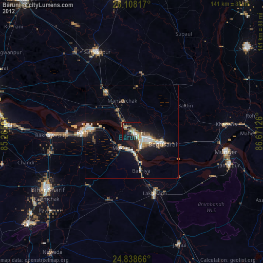
» Earth at Night: Flat Maps 2012, 2016