Teghra night lights from space
Night Light of Teghra (Bihar) from space (India) Src. Average luminocity for 10x10km area is 50.748% and for 50x50km: 31.4937%.
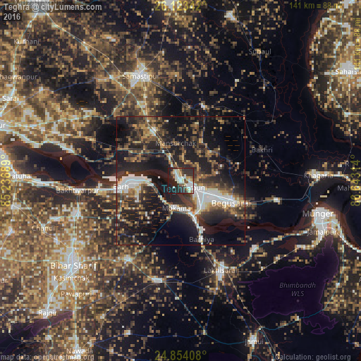
Analysis of Teghra night lights 2016
Square area 10x10 km:
 9.72%
9.72%90-99
14.09%80-89
5.95%70-79
5.16%60-69
2.58%50-59
4.96%40-49
5.95%30-39
7.54%20-29
23.81%10-19
20.24%0-9
0%Square area 50x50 km:
4.76%90-99
4.73%80-89
2.25%70-79
3.02%60-69
3.12%50-59
5.14%40-49
5.85%30-39
8.17%20-29
13.28%10-19
26.07%0-9
23.61%Clear (daylight) street map image can be seen on geolist.org.
Map coordinates:
26° 7' 24.3" North, 85° 14' 12.8" East
25° 29' 25.5" North, 85° 56' 24" East
24° 51' 14.7" North, 86° 38' 35.3" East
Some cities around Teghra sort by population:
• Begusarai
21 km =13 mi,  112°
112°
• Bāruni
3.3 km =2.1 mi,  121°
121°
• Mokameh
10.6 km =6.6 mi,  189°
189°
• Bārh
23.2 km =14.4 mi,  268°
268°
• Barhiya
23.9 km =14.9 mi,  160°
160°
• Rusera
30.5 km =19 mi,  16°
16°
• Dalsingh Sarai
22.3 km =13.9 mi,  332°
332°
• Mohiuddinnagar
28.7 km =17.8 mi,  288°
288°
1254813 (p: 46,160)
Sources (retrieved 2019-11-25):
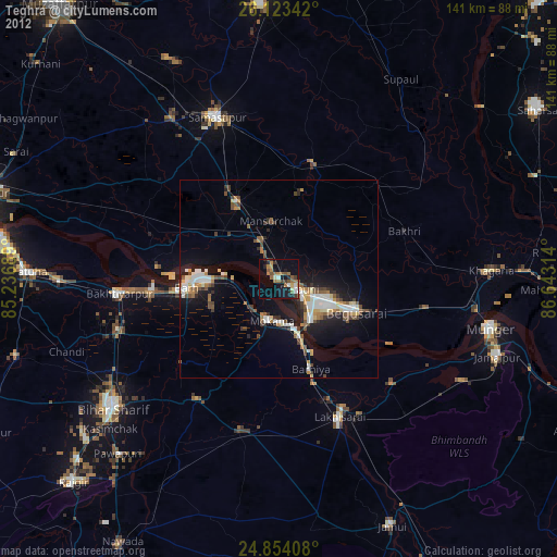
» Earth at Night: Flat Maps 2012, 2016