Barhiya night lights from space
Night Light of Barhiya (Bihar) from space (India) Src. Average luminocity for 10x10km area is 25.0119% and for 50x50km: 26.8481%.
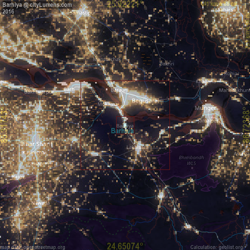
Analysis of Barhiya night lights 2016
Square area 10x10 km:
 6.15%
6.15%90-99
4.17%80-89
1.39%70-79
2.98%60-69
1.39%50-59
0.6%40-49
1.59%30-39
1.39%20-29
3.97%10-19
47.62%0-9
28.77%Square area 50x50 km:
4.39%90-99
4.36%80-89
1.92%70-79
2.56%60-69
2.22%50-59
3.61%40-49
5.05%30-39
6.46%20-29
9.96%10-19
22.75%0-9
36.71%Clear (daylight) street map image can be seen on geolist.org.
Map coordinates:
25° 55' 20" North, 85° 19' 2.7" East
25° 17' 17.3" North, 86° 1' 14" East
24° 39' 2.7" North, 86° 43' 25.2" East
Some cities around Barhiya sort by population:
• Begusarai
18.4 km =11.4 mi,  38°
38°
• Luckeesarai
14.5 km =9 mi,  149°
149°
• Bāruni
21.4 km =13.3 mi,  345°
345°
• Mokameh
15.6 km =9.7 mi,  320°
320°
• Bārh
38.1 km =23.7 mi,  304°
304°
• Sheikhpura
24.5 km =15.2 mi,  227°
227°
• Teghra
23.9 km =14.9 mi,  340°
340°
• Bar Bigha
29.9 km =18.6 mi,  255°
255°
1276954 (p: 43,045)
Sources (retrieved 2019-11-25):
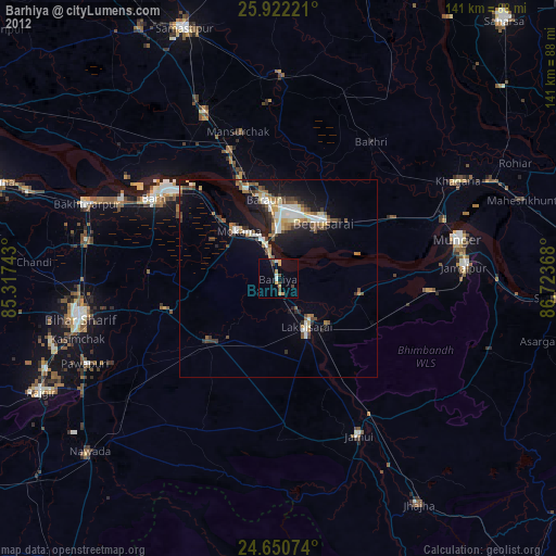
» Earth at Night: Flat Maps 2012, 2016