Jamālpur night lights from space
Night Light of Jamālpur (Bihar) from space (India) Src. Average luminocity for 10x10km area is 64.4821% and for 50x50km: 19.2158%.
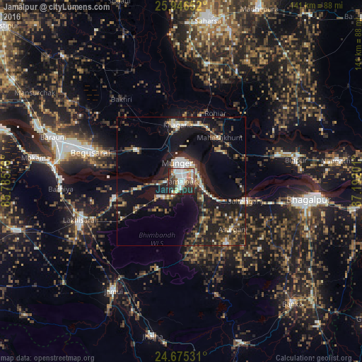
Analysis of Jamālpur night lights 2016
Square area 10x10 km:
 19.25%
90-99
17.86%80-89
7.74%70-79
4.37%60-69
5.95%50-59
3.57%40-49
6.15%30-39
11.31%20-29
23.61%10-19
0.2%0-9
0%Square area 50x50 km:
2.42%90-99
2.9%80-89
1.9%70-79
1.38%60-69
2.01%50-59
2.64%40-49
3.27%30-39
3.99%20-29
7.68%10-19
17.65%0-9
54.16%Clear (daylight) street map image can be seen on geolist.org.
Map coordinates:
25° 56' 47.5" North, 85° 47' 8.7" East
25° 18' 45.3" North, 86° 29' 20" East
24° 40' 31.1" North, 87° 11' 31.2" East
Some cities around Jamālpur sort by population:
• Monghyr
7 km =4.3 mi,  348°
348°
• Begusarai
37.6 km =23.4 mi,  288°
288°
• Luckeesarai
42.4 km =26.3 mi,  249°
249°
• Khagaria
21.2 km =13.2 mi, 354°
• Barhiya
47.2 km =29.3 mi,  266°
266°
• Kharagpur
22 km =13.7 mi,  162°
162°
• Bariārpur
9.2 km =5.7 mi,  107°
107°
• Asarganj
26.8 km =16.7 mi,  132°
132°
1269374 (p: 100,780)
Sources (retrieved 2019-11-25):
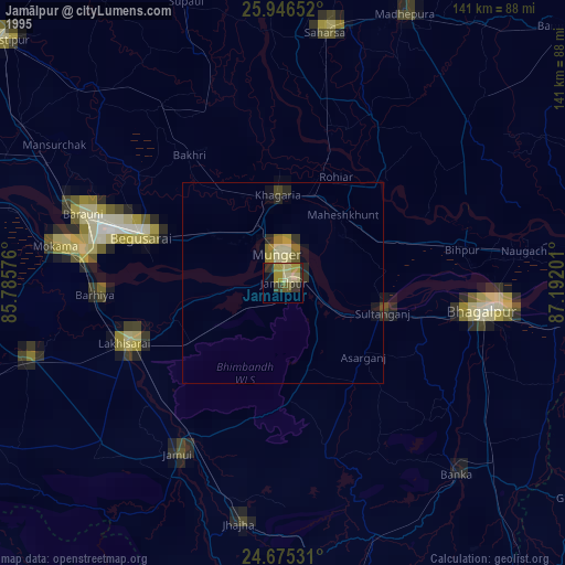
» NASA, Earths city lights 1995
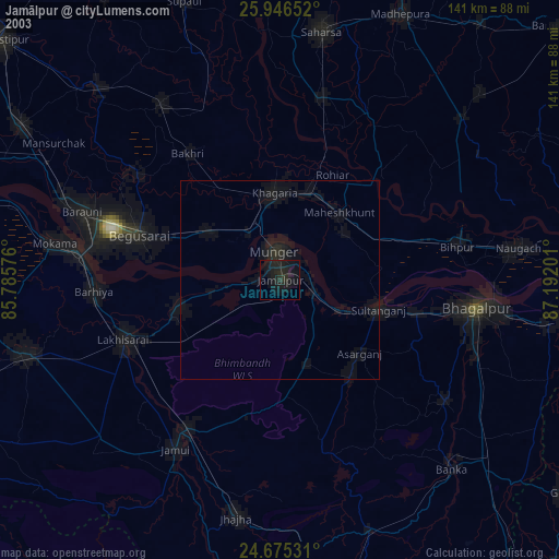
» NASA city lights 2003
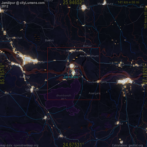
» Earth at Night: Flat Maps 2012, 2016