Monghyr night lights from space
Night Light of Monghyr (Bihar) from space (India) Src. Average luminocity for 10x10km area is 57.4643% and for 50x50km: 17.4301%.
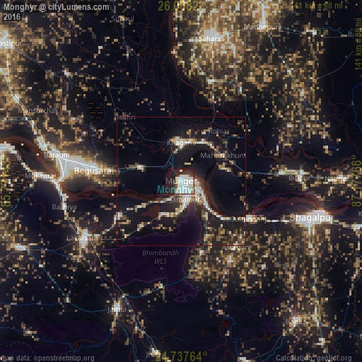
Analysis of Monghyr night lights 2016
Square area 10x10 km:
 22.82%
90-99
18.45%80-89
2.38%70-79
3.17%60-69
2.38%50-59
0.6%40-49
2.58%30-39
2.58%20-29
21.83%10-19
19.25%0-9
3.97%Square area 50x50 km:
2.26%90-99
2.72%80-89
1.67%70-79
1.34%60-69
1.71%50-59
2.11%40-49
2.61%30-39
3.29%20-29
6.14%10-19
17.47%0-9
58.68%Clear (daylight) street map image can be seen on geolist.org.
Map coordinates:
26° 0' 29.5" North, 85° 46' 17.1" East
25° 22' 28.5" North, 86° 28' 28.4" East
24° 44' 15.5" North, 87° 10' 39.6" East
Some cities around Monghyr sort by population:
• Begusarai
34.6 km =21.5 mi,  278°
278°
• Jamālpur
7 km =4.3 mi,  168°
168°
• Luckeesarai
44.1 km =27.4 mi,  240°
240°
• Khagaria
14.2 km =8.8 mi,  356°
356°
• Barhiya
46.6 km =29 mi,  258°
258°
• Kharagpur
29 km =18 mi,  163°
163°
• Bariārpur
14.1 km =8.8 mi,  133°
133°
• Asarganj
32.8 km =20.4 mi,  139°
139°
1262482 (p: 203,163)
Sources (retrieved 2019-11-25):
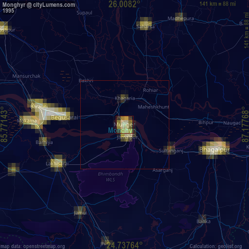
» NASA, Earths city lights 1995
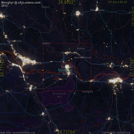
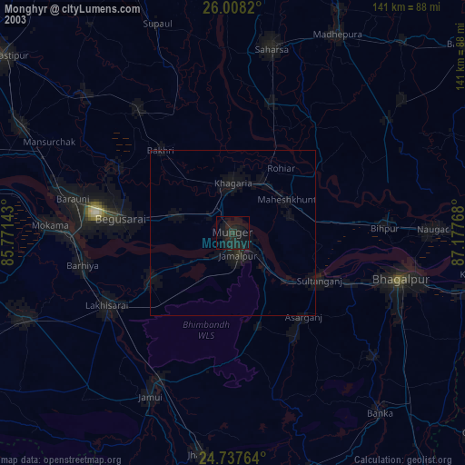
» NASA city lights 2003
» Earth at Night: Flat Maps 2012, 2016