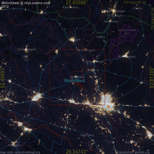
Mehndāwal night lights from space
Night Light of Mehndāwal (Uttar Pradesh) from space (India) Src. Average luminocity for 10x10km area is 15.9881% and for 50x50km: 18.0715%.
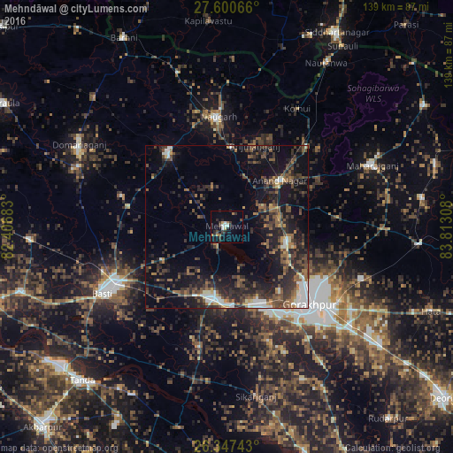
Analysis of Mehndāwal night lights 2016
Square area 10x10 km:
 1.79%
1.79%90-99
2.18%80-89
0.79%70-79
1.59%60-69
2.58%50-59
0.6%40-49
1.98%30-39
4.37%20-29
5.56%10-19
5.56%0-9
73.02%Square area 50x50 km:
1.86%90-99
1.89%80-89
0.93%70-79
1.2%60-69
2.66%50-59
3.53%40-49
4.16%30-39
5.26%20-29
8.04%10-19
13.07%0-9
57.4%Clear (daylight) street map image can be seen on geolist.org.
Map coordinates:
27° 36' 2.4" North, 82° 24' 24.6" East
26° 58' 32.8" North, 83° 6' 35.8" East
26° 20' 50.7" North, 83° 48' 47.1" East
Some cities around Mehndāwal sort by population:
• Gorakhpur
34.7 km =21.6 mi,  132°
132°
• Bastī
44.3 km =27.5 mi,  241°
241°
• Khalīlābād
22.9 km =14.2 mi,  189°
189°
• Bānsi
28.4 km =17.6 mi,  322°
322°
• Mahārāganj
48.5 km =30.1 mi,  67°
67°
• Maghar
24.5 km =15.2 mi,  175°
175°
• Pipraich
44.5 km =27.7 mi,  111°
111°
• Anandnagar
21.2 km =13.2 mi,  49°
49°
1263185 (p: 25,495)
Sources (retrieved 2019-11-25):
» Earth at Night: Flat Maps 2012, 2016