Hānsi night lights from space
Night Light of Hānsi (Haryana) from space (India) Src. Average luminocity for 10x10km area is 39.7956% and for 50x50km: 8.5785%.
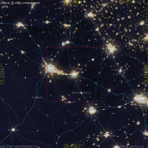
Analysis of Hānsi night lights 2016
Square area 10x10 km:
 3.17%
3.17%90-99
6.35%80-89
7.34%70-79
4.37%60-69
4.17%50-59
6.35%40-49
9.13%30-39
9.92%20-29
6.94%10-19
39.48%0-9
2.78%Square area 50x50 km:
0.79%90-99
1.35%80-89
1.91%70-79
0.62%60-69
0.66%50-59
1.12%40-49
1.64%30-39
1.44%20-29
2.17%10-19
6.33%0-9
81.97%Clear (daylight) street map image can be seen on geolist.org.
Map coordinates:
29° 42' 53.7" North, 75° 15' 33.9" East
29° 6' 8.6" North, 75° 57' 45.1" East
28° 29' 10.4" North, 76° 39' 56.4" East
Some cities around Hānsi sort by population:
• Hisar
24 km =14.9 mi,  283°
283°
• Bhiwāni
38.5 km =23.9 mi,  153°
153°
• Jīnd
41.6 km =25.8 mi,  55°
55°
• Barwāla
29.9 km =18.6 mi,  349°
349°
• Maham
35.6 km =22.1 mi,  114°
114°
• Nārnaund
21.9 km =13.6 mi,  53°
53°
• Shādīpur Julāna
43.1 km =26.8 mi,  86°
86°
• Toshām
26.2 km =16.3 mi,  189°
189°
1270417 (p: 82,407)
Sources (retrieved 2019-11-25):
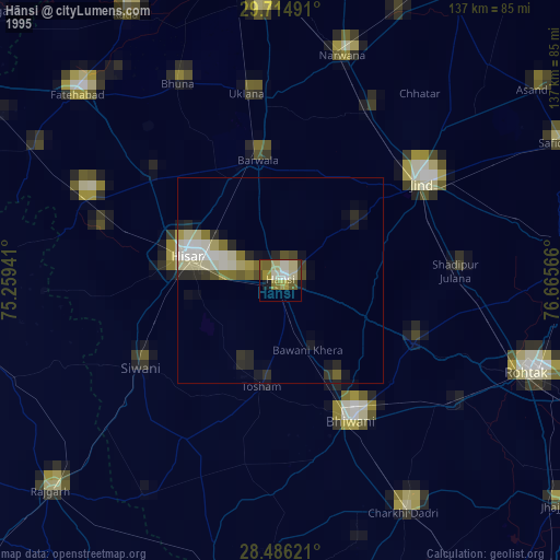
» NASA, Earths city lights 1995
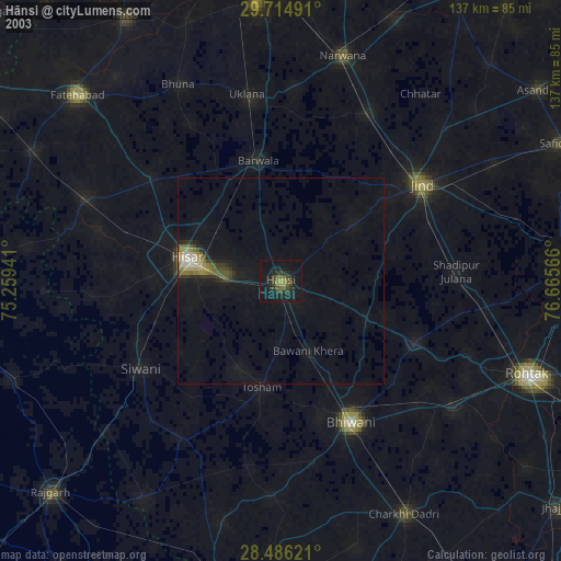
» NASA city lights 2003
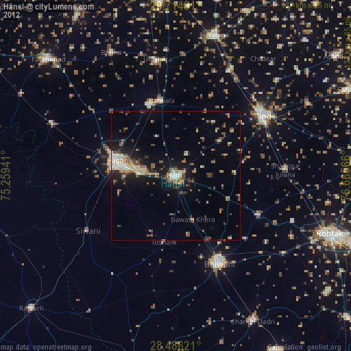
» Earth at Night: Flat Maps 2012, 2016