Rāmnagar night lights from space
Night Light of Rāmnagar (Uttar Pradesh) from space (India) Src. Average luminocity for 10x10km area is 97.4127% and for 50x50km: 48.8829%.
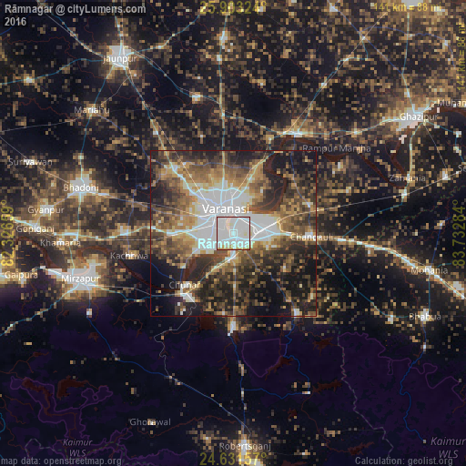
Analysis of Rāmnagar night lights 2016
Square area 10x10 km:
 57.74%
90-99
33.13%80-89
3.57%70-79
4.56%60-69
0.99%50-59
0%40-49
0%30-39
0%20-29
0%10-19
0%0-9
0%Square area 50x50 km:
10.62%90-99
7.44%80-89
3.89%70-79
6.09%60-69
6.98%50-59
8.9%40-49
10.32%30-39
10.17%20-29
13.33%10-19
16.24%0-9
6.01%Clear (daylight) street map image can be seen on geolist.org.
Map coordinates:
25° 54' 11.7" North, 82° 19' 35.7" East
25° 16' 8.7" North, 83° 1' 47" East
24° 37' 53.7" North, 83° 43' 58.2" East
Some cities around Rāmnagar sort by population:
• Varanasi
5.6 km =3.5 mi,  339°
339°
• Mughal Sarāi
9.2 km =5.7 mi,  80°
80°
• Chunār
21.6 km =13.4 mi,  223°
223°
• Ahraura
28.2 km =17.5 mi,  179°
179°
• Chandauli
24 km =14.9 mi,  92°
92°
• Kachhwa
32.5 km =20.2 mi,  257°
257°
• Chakia
31.2 km =19.4 mi,  141°
141°
• Barāgaon
27.8 km =17.3 mi,  309°
309°
1258642 (p: 44,277)
Sources (retrieved 2019-11-25):
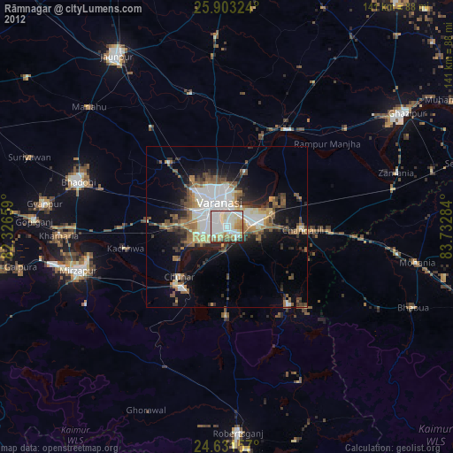
» Earth at Night: Flat Maps 2012, 2016