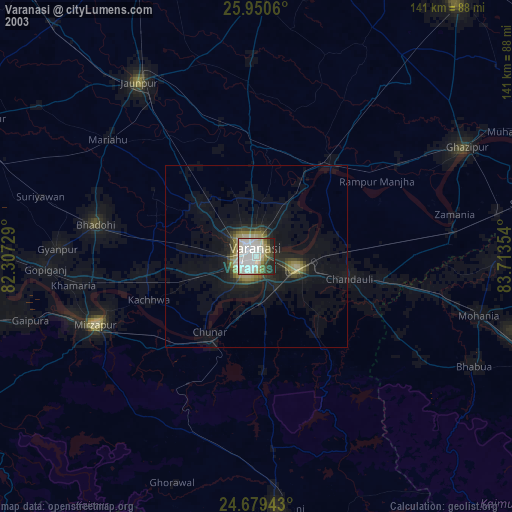
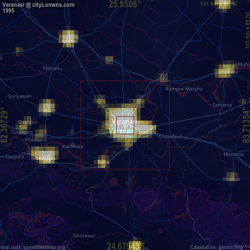
Varanasi night lights from space
Night Light of Varanasi (Uttar Pradesh) from space (India) Src. Average luminocity for 10x10km area is 99.5357% and for 50x50km: 48.4682%.
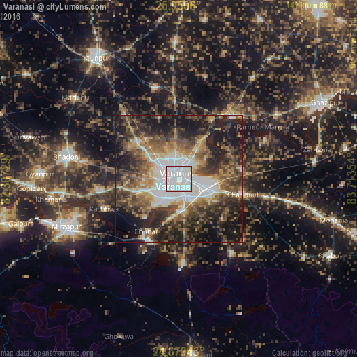
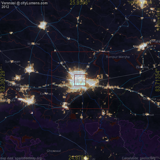
Analysis of Varanasi night lights 2016
Square area 10x10 km:
 81.15%
90-99
17.26%80-89
1.59%70-79
0%60-69
0%50-59
0%40-49
0%30-39
0%20-29
0%10-19
0%0-9
0%Square area 50x50 km:
10.38%90-99
7.29%80-89
3.85%70-79
5.96%60-69
6.76%50-59
8.71%40-49
10.31%30-39
10.57%20-29
13.64%10-19
18.08%0-9
4.45%Clear (daylight) street map image can be seen on geolist.org.
Map coordinates:
25° 57' 2.2" North, 82° 18' 26.2" East
25° 19' 0" North, 83° 0' 37.5" East
24° 40' 45.9" North, 83° 42' 48.7" East
Some cities around Varanasi sort by population:
• Mughal Sarāi
11.6 km =7.2 mi,  108°
108°
• Rāmnagar
5.6 km =3.5 mi,  159°
159°
• Chunār
24.7 km =15.3 mi,  211°
211°
• Ahraura
33.5 km =20.8 mi,  176°
176°
• Chandauli
26.7 km =16.6 mi,  104°
104°
• Saidpur
32.6 km =20.3 mi,  41°
41°
• Kachhwa
32.2 km =20 mi,  247°
247°
• Barāgaon
23.1 km =14.4 mi,  302°
302°
1253405 (p: 1,164,404)
Sources (retrieved 2019-11-25):
» NASA, Earths city lights 1995
» NASA city lights 2003
» Earth at Night: Flat Maps 2012, 2016