Bankra night lights from space
Night Light of Bankra (West Bengal) from space (India) Src. Average luminocity for 10x10km area is 97.3239% and for 50x50km: 78.8974%.
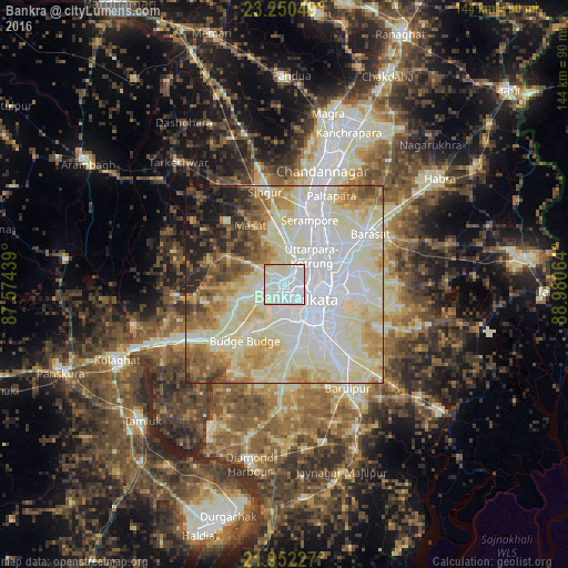
Analysis of Bankra night lights 2016
Square area 10x10 km:
 48.86%
90-99
47.35%80-89
3.03%70-79
0.76%60-69
0%50-59
0%40-49
0%30-39
0%20-29
0%10-19
0%0-9
0%Square area 50x50 km:
24.02%90-99
28.41%80-89
12.85%70-79
6.92%60-69
6.69%50-59
5.73%40-49
4.14%30-39
2.88%20-29
4%10-19
4.03%0-9
0.32%Clear (daylight) street map image can be seen on geolist.org.
Map coordinates:
23° 15' 1.8" North, 87° 34' 27.8" East
22° 36' 10.5" North, 88° 16' 39" East
21° 57' 8.2" North, 88° 58' 50.3" East
Some cities around Bankra sort by population:
• Hāora
5.1 km =3.2 mi,  124°
124°
• Bāli
8.3 km =5.2 mi,  52°
52°
• Sānkrāil
8 km =5 mi,  222°
222°
• Chakapara
8 km =5 mi,  65°
65°
• Dumjor
3.8 km =2.4 mi,  300°
300°
• Mahiari
4.6 km =2.9 mi,  249°
249°
• Masila
5.2 km =3.2 mi,  241°
241°
• Krishnapur
7.5 km =4.7 mi,  353°
353°
1348747 (p: 56,273)
Sources (retrieved 2019-11-25):
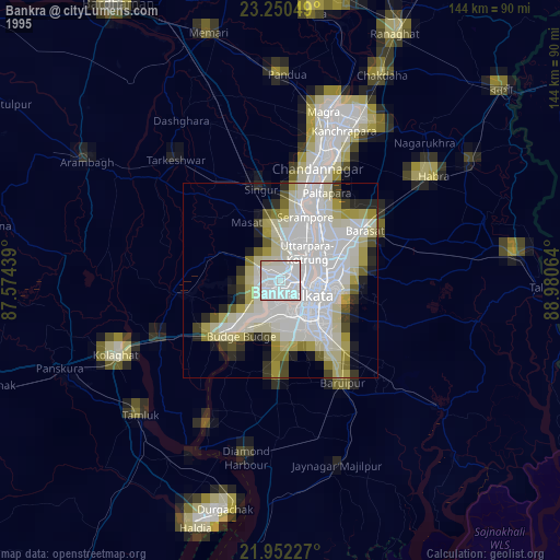
» NASA, Earths city lights 1995
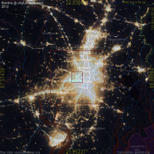
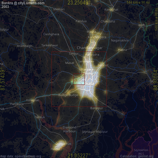
» NASA city lights 2003
» Earth at Night: Flat Maps 2012, 2016