Dumjor night lights from space
Night Light of Dumjor (West Bengal) from space (India) Src. Average luminocity for 10x10km area is 91.4924% and for 50x50km: 75.4718%.
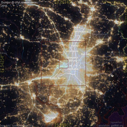
Analysis of Dumjor night lights 2016
Square area 10x10 km:
 22.16%
90-99
56.82%80-89
10.04%70-79
3.41%60-69
4.92%50-59
2.46%40-49
0.19%30-39
0%20-29
0%10-19
0%0-9
0%Square area 50x50 km:
23.98%90-99
25.95%80-89
10.51%70-79
6.03%60-69
6.82%50-59
6.51%40-49
5.06%30-39
3.64%20-29
4.76%10-19
5.35%0-9
1.4%Clear (daylight) street map image can be seen on geolist.org.
Map coordinates:
23° 16' 2.7" North, 87° 32' 33.1" East
22° 37' 11.7" North, 88° 14' 44.4" East
21° 58' 9.7" North, 88° 56' 55.6" East
Some cities around Dumjor sort by population:
• Bankra
3.8 km =2.4 mi,  120°
120°
• Sānkrāil
8.1 km =5 mi,  195°
195°
• Dhulagari
8.7 km =5.4 mi,  241°
241°
• Mahiari
3.7 km =2.3 mi, 196°
• Masila
4.5 km =2.8 mi, 196°
• Parbatipur
5.3 km =3.3 mi,  333°
333°
• Krishnapur
6.1 km =3.8 mi,  23°
23°
• Bhandārdaha
5.5 km =3.4 mi,  264°
264°
1348739 (p: 17,972)
Sources (retrieved 2019-11-25):
» Earth at Night: Flat Maps 2012, 2016