Hāora night lights from space
Night Light of Hāora (West Bengal) from space (India) Src. Average luminocity for 10x10km area is 99.892% and for 50x50km: 81.8654%.
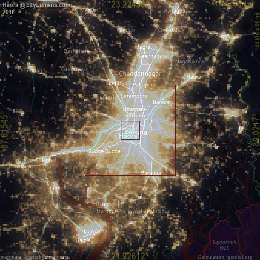
Analysis of Hāora night lights 2016
Square area 10x10 km:
 91.48%
90-99
8.52%80-89
0%70-79
0%60-69
0%50-59
0%40-49
0%30-39
0%20-29
0%10-19
0%0-9
0%Square area 50x50 km:
23.85%90-99
29.54%80-89
14.6%70-79
8.17%60-69
7.92%50-59
5.61%40-49
3.84%30-39
2.35%20-29
2.23%10-19
1.88%0-9
0.02%Clear (daylight) street map image can be seen on geolist.org.
Map coordinates:
23° 13' 28.5" North, 87° 36' 55.6" East
22° 34' 36.8" North, 88° 19' 6.9" East
21° 55' 34" North, 89° 1' 18.1" East
Some cities around Hāora sort by population:
• Kolkata
4.8 km =3 mi,  109°
109°
• Bāli
8.3 km =5.2 mi,  16°
16°
• Bankra
5.1 km =3.2 mi,  304°
304°
• Chakapara
6.9 km =4.3 mi,  26°
26°
• Mahiari
8.6 km =5.3 mi,  278°
278°
• Masila
8.8 km =5.5 mi,  272°
272°
• Bara Bazar
3.4 km =2.1 mi, 109°
• Santoshpur
8 km =5 mi,  218°
218°
1270396 (p: 1,027,672)
Sources (retrieved 2019-11-25):
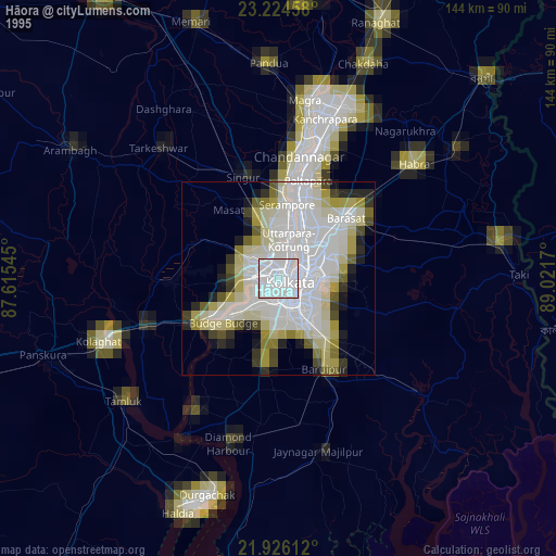
» NASA, Earths city lights 1995
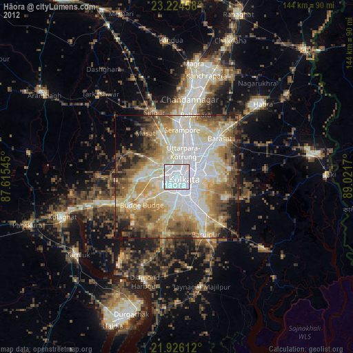
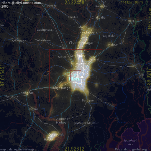
» NASA city lights 2003
» Earth at Night: Flat Maps 2012, 2016