Sānkrāil night lights from space
Night Light of Sānkrāil (West Bengal) from space (India) Src. Average luminocity for 10x10km area is 93.5019% and for 50x50km: 74.8501%.
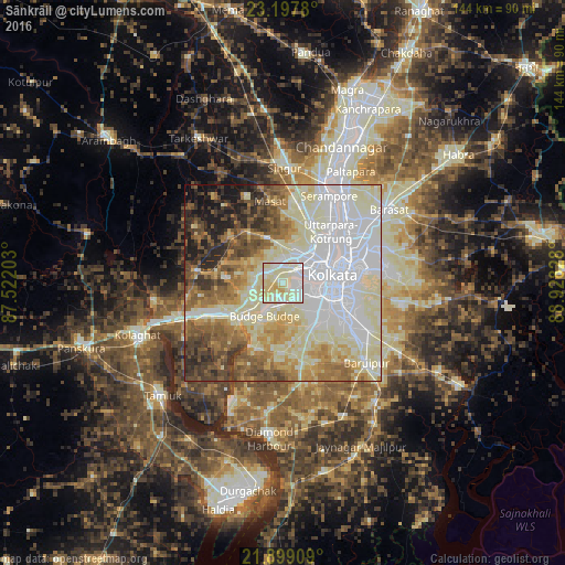
Analysis of Sānkrāil night lights 2016
Square area 10x10 km:
 20.27%
90-99
58.71%80-89
18.56%70-79
2.46%60-69
0%50-59
0%40-49
0%30-39
0%20-29
0%10-19
0%0-9
0%Square area 50x50 km:
22.1%90-99
24.54%80-89
10.55%70-79
6.46%60-69
7.92%50-59
7.92%40-49
6.4%30-39
4.79%20-29
4.95%10-19
3.8%0-9
0.58%Clear (daylight) street map image can be seen on geolist.org.
Map coordinates:
23° 11' 52.1" North, 87° 31' 19.3" East
22° 32' 59.9" North, 88° 13' 30.5" East
21° 53' 56.7" North, 88° 55' 41.8" East
Some cities around Sānkrāil sort by population:
• Nangi
4.7 km =2.9 mi,  192°
192°
• Dhulagari
6.6 km =4.1 mi,  302°
302°
• Fort Gloster
6.6 km =4.1 mi,  220°
220°
• Mahiari
4.4 km =2.7 mi,  13°
13°
• Raghudebbati
4.1 km =2.5 mi,  227°
227°
• Masila
3.5 km =2.2 mi, 12°
• Sāhāpur
6.6 km =4.1 mi,  244°
244°
• Santoshpur
5.6 km =3.5 mi,  125°
125°
1257354 (p: 27,523)
Sources (retrieved 2019-11-25):
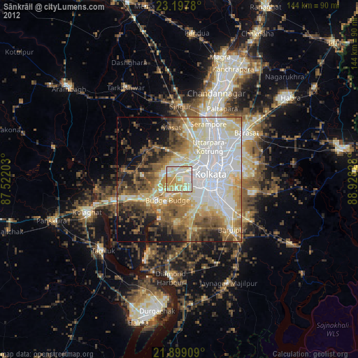
» Earth at Night: Flat Maps 2012, 2016