Atarra night lights from space
Night Light of Atarra (Uttar Pradesh) from space (India) Src. Average luminocity for 10x10km area is 25.0476% and for 50x50km: 5.7213%.
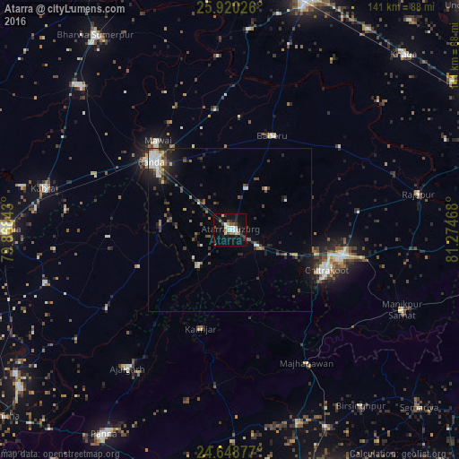
Analysis of Atarra night lights 2016
Square area 10x10 km:
 3.97%
3.97%90-99
4.96%80-89
2.18%70-79
0.2%60-69
2.58%50-59
4.76%40-49
2.98%30-39
0.99%20-29
8.73%10-19
27.18%0-9
41.47%Square area 50x50 km:
0.7%90-99
0.9%80-89
0.4%70-79
0.33%60-69
0.62%50-59
0.83%40-49
0.86%30-39
1.18%20-29
1.96%10-19
3.59%0-9
88.62%Clear (daylight) street map image can be seen on geolist.org.
Map coordinates:
25° 55' 12.9" North, 79° 52' 6.3" East
25° 17' 10.2" North, 80° 34' 17.6" East
24° 38' 55.6" North, 81° 16' 28.8" East
Some cities around Atarra sort by population:
• Bānda
31.9 km =19.8 mi,  311°
311°
• Baberu
31.9 km =19.8 mi,  24°
24°
• Naraini
14.4 km =8.9 mi,  222°
222°
• Chandla
45 km =28 mi,  237°
237°
• Bisenda Buzurg
13.9 km =8.6 mi, 20°
• Tindwāri
37.1 km =23.1 mi,  353°
353°
• Mataundh
44.9 km =27.9 mi,  291°
291°
• Oran
19.5 km =12.1 mi,  61°
61°
1278228 (p: 46,168)
Sources (retrieved 2019-11-25):
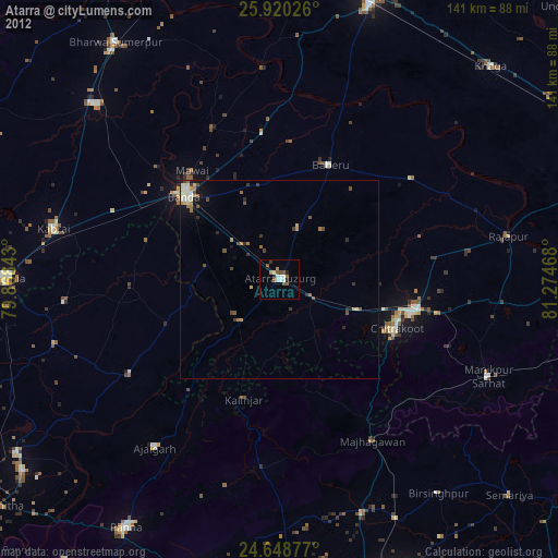
» Earth at Night: Flat Maps 2012, 2016