Pāli night lights from space
Night Light of Pāli (Rajasthan) from space (India) Src. Average luminocity for 10x10km area is 59.5114% and for 50x50km: 4.1701%.
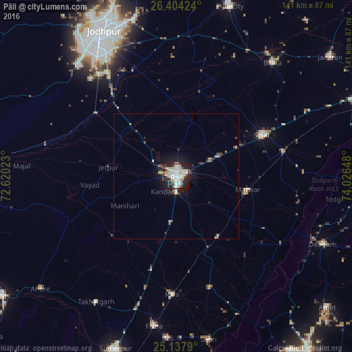
Analysis of Pāli night lights 2016
Square area 10x10 km:
 9.85%
9.85%90-99
28.98%80-89
4.17%70-79
4.17%60-69
3.41%50-59
4.17%40-49
4.17%30-39
4.17%20-29
22.54%10-19
14.39%0-9
0%Square area 50x50 km:
0.41%90-99
1.5%80-89
0.25%70-79
0.23%60-69
0.29%50-59
0.36%40-49
0.56%30-39
0.42%20-29
1.26%10-19
3.05%0-9
91.66%Clear (daylight) street map image can be seen on geolist.org.
Map coordinates:
26° 24' 15.3" North, 72° 37' 12.8" East
25° 46' 21.9" North, 73° 19' 24.1" East
25° 8' 16.4" North, 74° 1' 35.3" East
Some cities around Pāli sort by population:
• Jodhpur
63.6 km =39.5 mi,  330°
330°
• Sojat
38.3 km =23.8 mi,  63°
63°
• Bilāra
59.3 km =36.8 mi,  40°
40°
• Sādri
66.6 km =41.4 mi,  168°
168°
• Bāli
64.1 km =39.8 mi,  182°
182°
• Devgarh
64.7 km =40.2 mi,  115°
115°
• Takhatgarh
59.4 km =36.9 mi,  212°
212°
• Rāni
47 km =29.2 mi, 181°
1260716 (p: 210,103)
Sources (retrieved 2019-11-25):
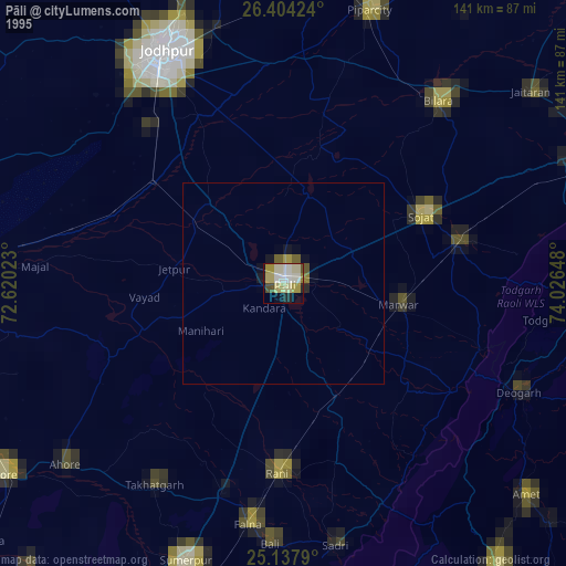
» NASA, Earths city lights 1995
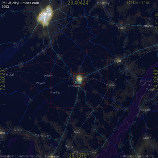
» NASA city lights 2003
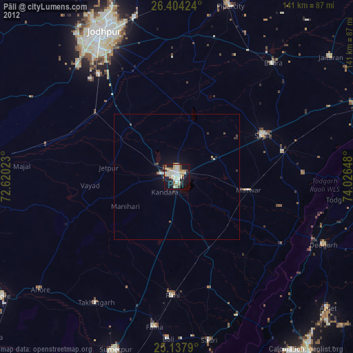
» Earth at Night: Flat Maps 2012, 2016