Bakshwāho night lights from space
Night Light of Bakshwāho (Madhya Pradesh) from space (India) Src. Average luminocity for 10x10km area is 4.8977% and for 50x50km: 4.3537%.
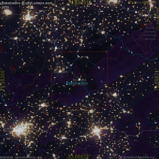
Analysis of Bakshwāho night lights 2016
Square area 10x10 km:
 0.19%
0.19%90-99
0.57%80-89
0.76%70-79
0%60-69
1.33%50-59
0.95%40-49
1.33%30-39
0.19%20-29
2.27%10-19
0.76%0-9
91.67%Square area 50x50 km:
0.18%90-99
0.46%80-89
0.22%70-79
0.3%60-69
0.62%50-59
0.98%40-49
1.09%30-39
1.17%20-29
1.15%10-19
1.02%0-9
92.82%Clear (daylight) street map image can be seen on geolist.org.
Map coordinates:
24° 53' 25.8" North, 78° 34' 59" East
24° 15' 3.8" North, 79° 17' 10.2" East
23° 36' 30.2" North, 79° 59' 21.5" East
Some cities around Bakshwāho sort by population:
• Damoh
49.1 km =30.5 mi,  161°
161°
• Hatta
34.5 km =21.4 mi,  112°
112°
• Banda
40.2 km =25 mi,  235°
235°
• Bijāwar
46.3 km =28.8 mi,  26°
26°
• Patharia
40.2 km =25 mi,  193°
193°
• Hindoria
48.1 km =29.9 mi,  143°
143°
• Shāhgarh
18.4 km =11.4 mi,  292°
292°
• Shāhpur
46.4 km =28.8 mi,  211°
211°
1277671 (p: 9,734)
Sources (retrieved 2019-11-25):
» Earth at Night: Flat Maps 2012, 2016