Damoh night lights from space
Night Light of Damoh (Madhya Pradesh) from space (India) Src. Average luminocity for 10x10km area is 64.2659% and for 50x50km: 13.9569%.
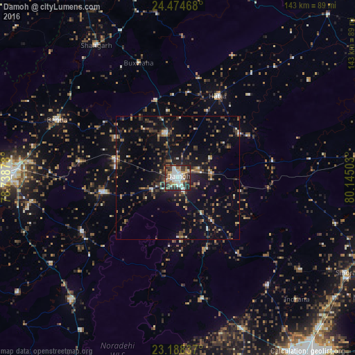
Analysis of Damoh night lights 2016
Square area 10x10 km:
 18.06%
90-99
16.07%80-89
3.17%70-79
7.34%60-69
9.72%50-59
6.94%40-49
9.72%30-39
9.92%20-29
18.25%10-19
0.79%0-9
0%Square area 50x50 km:
1.11%90-99
1.37%80-89
1%70-79
0.87%60-69
2.15%50-59
2.11%40-49
3.09%30-39
3.72%20-29
4.76%10-19
10.34%0-9
69.49%Clear (daylight) street map image can be seen on geolist.org.
Map coordinates:
24° 28' 28.8" North, 78° 44' 19.6" East
23° 49' 59.2" North, 79° 26' 30.8" East
23° 11' 18.1" North, 80° 8' 42.1" East
Some cities around Damoh sort by population:
• Hatta
37.2 km =23.1 mi,  25°
25°
• Garhākota
31 km =19.3 mi,  258°
258°
• Rehli
44.3 km =27.5 mi,  240°
240°
• Patharia
26.3 km =16.3 mi,  286°
286°
• Hindoria
15.1 km =9.4 mi,  58°
58°
• Shāhpur
40.3 km =25 mi,  279°
279°
• Tendūkheda
49.6 km =30.8 mi,  168°
168°
• Bakshwāho
49.1 km =30.5 mi,  341°
341°
1273587 (p: 118,776)
Sources (retrieved 2019-11-25):
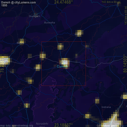
» NASA, Earths city lights 1995
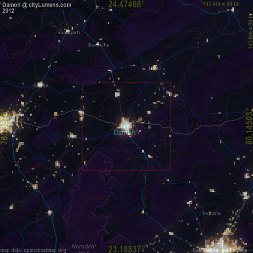
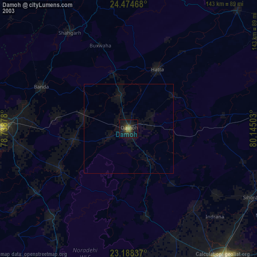
» NASA city lights 2003
» Earth at Night: Flat Maps 2012, 2016