Banda night lights from space
Night Light of Banda (Madhya Pradesh) from space (India) Src. Average luminocity for 10x10km area is 25.6894% and for 50x50km: 12.1795%.
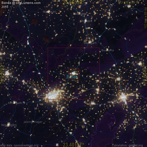
Analysis of Banda night lights 2016
Square area 10x10 km:
 2.08%
2.08%90-99
3.22%80-89
1.33%70-79
2.46%60-69
6.25%50-59
4.73%40-49
6.44%30-39
2.08%20-29
4.17%10-19
28.79%0-9
38.45%Square area 50x50 km:
1.62%90-99
1.97%80-89
1.17%70-79
0.97%60-69
1.56%50-59
1.97%40-49
2.21%30-39
2.22%20-29
2.77%10-19
6.62%0-9
76.91%Clear (daylight) street map image can be seen on geolist.org.
Map coordinates:
24° 41' 7.4" North, 78° 15' 28.2" East
24° 2' 41.6" North, 78° 57' 39.4" East
23° 24' 4.2" North, 79° 39' 50.7" East
Some cities around Banda sort by population:
• Saugor
32.2 km =20 mi,  224°
224°
• Garhākota
34.9 km =21.7 mi,  147°
147°
• Patharia
28.7 km =17.8 mi,  124°
124°
• Shāhgarh
33.9 km =21.1 mi,  28°
28°
• Shāhpur
19.1 km =11.9 mi, 151°
• Dhāna
34.6 km =21.5 mi,  196°
196°
• Karrāpur
14.4 km =8.9 mi, 222°
• Bakshwāho
40.2 km =25 mi,  55°
55°
1277398 (p: 28,978)
Sources (retrieved 2019-11-25):
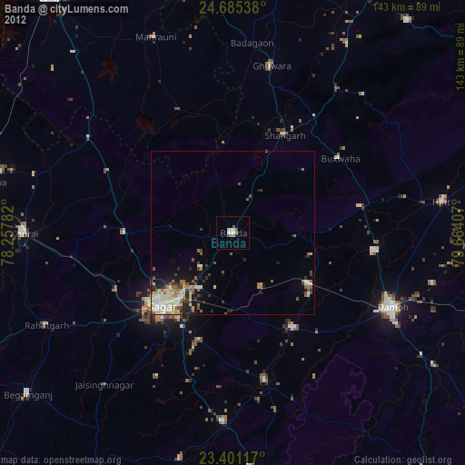
» Earth at Night: Flat Maps 2012, 2016