Hatta night lights from space
Night Light of Hatta (Madhya Pradesh) from space (India) Src. Average luminocity for 10x10km area is 18.1515% and for 50x50km: 6.2186%.
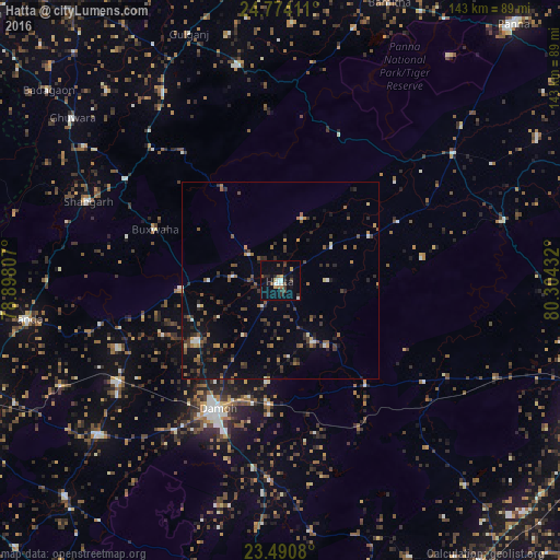
Analysis of Hatta night lights 2016
Square area 10x10 km:
 2.27%
2.27%90-99
2.27%80-89
1.33%70-79
1.7%60-69
2.08%50-59
2.46%40-49
3.03%30-39
2.08%20-29
4.36%10-19
11.74%0-9
66.67%Square area 50x50 km:
0.36%90-99
0.56%80-89
0.34%70-79
0.44%60-69
0.89%50-59
1.29%40-49
1.28%30-39
1.37%20-29
1.95%10-19
3.52%0-9
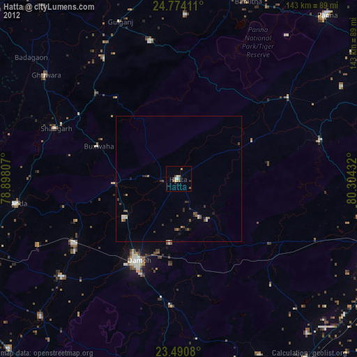
88%Clear (daylight) street map image can be seen on geolist.org.
Map coordinates:
24° 46' 26.8" North, 78° 53' 53.1" East
24° 8' 2.6" North, 79° 36' 4.3" East
23° 29' 26.9" North, 80° 18' 15.6" East
Some cities around Hatta sort by population:
• Damoh
37.2 km =23.1 mi,  205°
205°
• Bijāwar
55.6 km =34.5 mi,  348°
348°
• Patharia
48.9 km =30.4 mi,  237°
237°
• Hindoria
25.9 km =16.1 mi,  187°
187°
• Shāhgarh
52.9 km =32.9 mi,  292°
292°
• Amānganj
54.8 km =34.1 mi,  53°
53°
• Pawai
58.7 km =36.5 mi,  75°
75°
• Bakshwāho
34.5 km =21.4 mi, 292°
1270185 (p: 30,854)
Sources (retrieved 2019-11-25):
» Earth at Night: Flat Maps 2012, 2016