Tuljāpur night lights from space
Night Light of Tuljāpur (Maharashtra) from space (India) Src. Average luminocity for 10x10km area is 20.0303% and for 50x50km: 5.5543%.
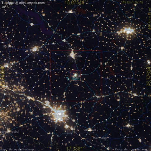
Analysis of Tuljāpur night lights 2016
Square area 10x10 km:
 1.52%
1.52%90-99
2.38%80-89
1.08%70-79
2.38%60-69
0.43%50-59
5.63%40-49
4.76%30-39
3.46%20-29
7.36%10-19
8.23%0-9
62.77%Square area 50x50 km:
0.28%90-99
0.61%80-89
0.41%70-79
0.52%60-69
0.87%50-59
1.01%40-49
0.97%30-39
1.22%20-29
1.76%10-19
2.67%0-9
89.67%Clear (daylight) street map image can be seen on geolist.org.
Map coordinates:
18° 40' 31.6" North, 75° 22' 1.2" East
18° 0' 28.9" North, 76° 4' 12.4" East
17° 20' 17.2" North, 76° 46' 23.7" East
Some cities around Tuljāpur sort by population:
• Solāpur
41.1 km =25.5 mi,  204°
204°
• Bārsi
47.2 km =29.3 mi,  302°
302°
• Osmanabad
19.6 km =12.2 mi,  350°
350°
• Akalkot
55.6 km =34.5 mi,  164°
164°
• Ausa
52.6 km =32.7 mi,  59°
59°
• Moram
48.9 km =30.4 mi,  119°
119°
• Naldurg
30.9 km =19.2 mi,  133°
133°
• Kāti
19.8 km =12.3 mi,  254°
254°
1254111 (p: 35,596)
Sources (retrieved 2019-11-25):
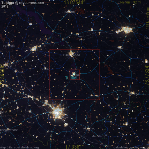
» Earth at Night: Flat Maps 2012, 2016