Penukonda night lights from space
Night Light of Penukonda (Andhra Pradesh) from space (India) Src. Average luminocity for 10x10km area is 6.2965% and for 50x50km: 2.7346%.
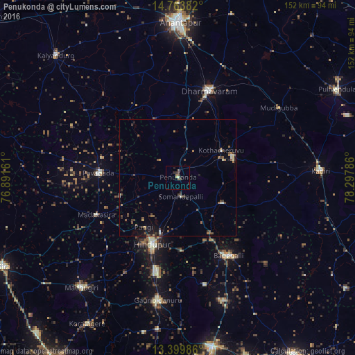
Analysis of Penukonda night lights 2016
Square area 10x10 km:
 0%
0%90-99
0.65%80-89
0.65%70-79
0.43%60-69
1.73%50-59
1.73%40-49
1.08%30-39
0.65%20-29
3.03%10-19
1.73%0-9
88.31%Square area 50x50 km:
0.03%90-99
0.31%80-89
0.21%70-79
0.18%60-69
0.41%50-59
0.78%40-49
0.83%30-39
0.57%20-29
0.72%10-19
1.19%0-9
94.79%Clear (daylight) street map image can be seen on geolist.org.
Map coordinates:
14° 45' 49.8" North, 76° 53' 29.8" East
14° 4' 58.3" North, 77° 35' 41" East
13° 23' 59.5" North, 78° 17' 52.3" East
Some cities around Penukonda sort by population:
• Hindupur
30.4 km =18.9 mi,  201°
201°
• Dharmavaram
39.3 km =24.4 mi,  20°
20°
• Pāvugada
34 km =21.1 mi,  273°
273°
• Gorantla
22.1 km =13.7 mi,  119°
119°
• Bāgepalli
39.8 km =24.7 mi,  146°
146°
• Gudibanda
47.3 km =29.4 mi,  165°
165°
• Puttaparthi
25.1 km =15.6 mi,  68°
68°
• Kodigenahalli
46.1 km =28.6 mi,  209°
209°
1259905 (p: 20,220)
Sources (retrieved 2019-11-25):
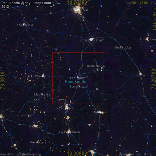
» Earth at Night: Flat Maps 2012, 2016