Tijāra night lights from space
Night Light of Tijāra (Rajasthan) from space (India) Src. Average luminocity for 10x10km area is 22.4205% and for 50x50km: 11.4718%.
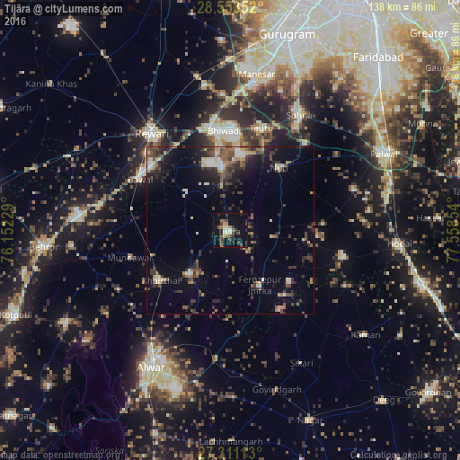
Analysis of Tijāra night lights 2016
Square area 10x10 km:
 0.38%
0.38%90-99
3.03%80-89
2.65%70-79
1.52%60-69
3.79%50-59
3.22%40-49
5.11%30-39
5.87%20-29
6.44%10-19
21.97%0-9
46.02%Square area 50x50 km:
0.73%90-99
1.28%80-89
1.44%70-79
0.79%60-69
1.28%50-59
1.81%40-49
2.5%30-39
3.07%20-29
3.78%10-19
6.75%0-9
76.56%Clear (daylight) street map image can be seen on geolist.org.
Map coordinates:
28° 33' 12.7" North, 76° 9' 8.2" East
27° 56' 2.8" North, 76° 51' 19.5" East
27° 18' 40.1" North, 77° 33' 30.7" East
Some cities around Tijāra sort by population:
• Bhiwadi
30.7 km =19.1 mi,  0°
0°
• Dhāruhera
30.7 km =19.1 mi,  349°
349°
• Fīrozpur Jhirka
18.4 km =11.4 mi,  151°
151°
• Tāoru
32.2 km =20 mi,  16°
16°
• Bāwal
30.8 km =19.1 mi,  299°
299°
• Nūh
23.6 km =14.7 mi,  37°
37°
• Mandāwar
31 km =19.3 mi,  255°
255°
• Kishangarh
17.8 km =11.1 mi,  223°
223°
1254538 (p: 21,833)
Sources (retrieved 2019-11-25):
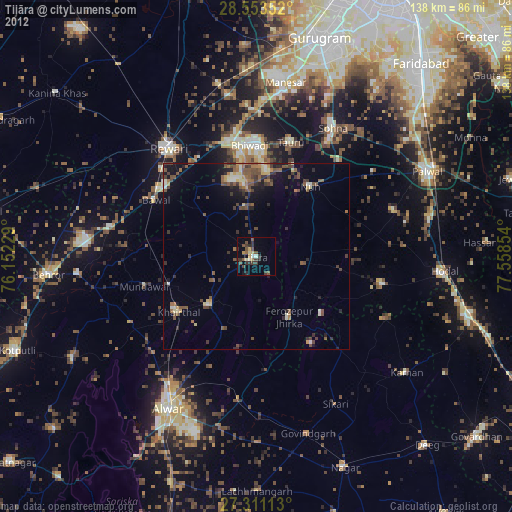
» Earth at Night: Flat Maps 2012, 2016