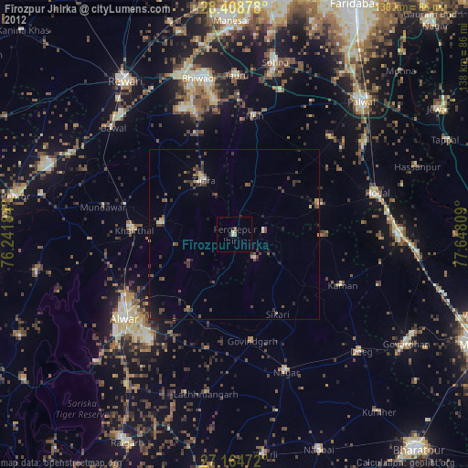
Fīrozpur Jhirka night lights from space
Night Light of Fīrozpur Jhirka (Haryana) from space (India) Src. Average luminocity for 10x10km area is 9.2976% and for 50x50km: 7.1359%.
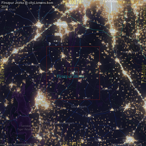
Analysis of Fīrozpur Jhirka night lights 2016
Square area 10x10 km:
 0.6%
0.6%90-99
1.59%80-89
0.2%70-79
1.39%60-69
0.2%50-59
1.59%40-49
0.4%30-39
1.59%20-29
4.96%10-19
2.58%0-9
84.92%Square area 50x50 km:
0.2%90-99
0.38%80-89
0.57%70-79
0.59%60-69
0.98%50-59
1.17%40-49
2.05%30-39
2.23%20-29
2.44%10-19
3.24%0-9
86.16%Clear (daylight) street map image can be seen on geolist.org.
Map coordinates:
28° 24' 31.6" North, 76° 14' 30.6" East
27° 47' 18.7" North, 76° 56' 41.9" East
27° 9' 53" North, 77° 38' 53.1" East
Some cities around Fīrozpur Jhirka sort by population:
• Alwar
40.3 km =25 mi,  231°
231°
• Kāman
35.1 km =21.8 mi,  114°
114°
• Tijāra
18.4 km =11.4 mi,  331°
331°
• Pūnāhāna
26.8 km =16.7 mi,  71°
71°
• Nūh
35.4 km =22 mi,  9°
9°
• Mandāwar
39.7 km =24.7 mi,  282°
282°
• Govindgarh
32.1 km =19.9 mi,  170°
170°
• Kishangarh
21.4 km =13.3 mi, 279°
1271881 (p: 20,195)
Sources (retrieved 2019-11-25):
» Earth at Night: Flat Maps 2012, 2016