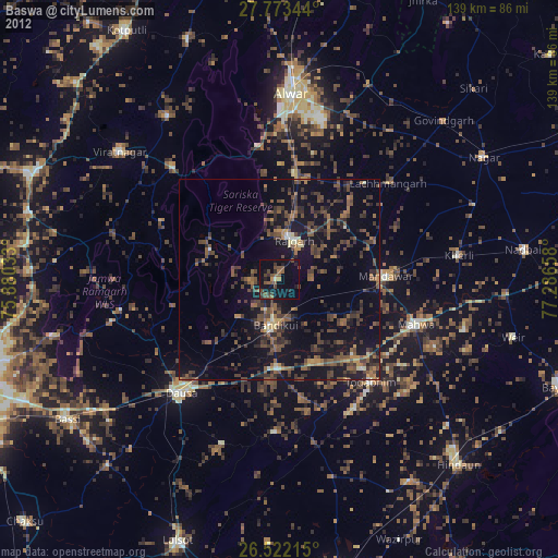
Baswa night lights from space
Night Light of Baswa (Rajasthan) from space (India) Src. Average luminocity for 10x10km area is 24.7311% and for 50x50km: 18.6614%.
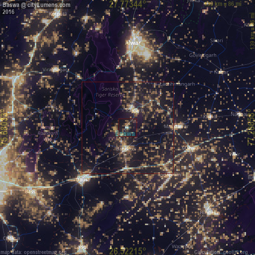
Analysis of Baswa night lights 2016
Square area 10x10 km:
 0%
0%90-99
1.33%80-89
0.19%70-79
1.52%60-69
4.17%50-59
3.6%40-49
11.55%30-39
7.39%20-29
11.93%10-19
45.83%0-9
12.5%Square area 50x50 km:
0.25%90-99
0.9%80-89
1.55%70-79
1.41%60-69
2.61%50-59
4.42%40-49
5.15%30-39
6.25%20-29
8.67%10-19
24.7%0-9
44.09%Clear (daylight) street map image can be seen on geolist.org.
Map coordinates:
27° 46' 24.4" North, 75° 52' 49.2" East
27° 8' 58.4" North, 76° 35' 0.4" East
26° 31' 19.7" North, 77° 17' 11.7" East
Some cities around Baswa sort by population:
• Alwar
46.1 km =28.6 mi,  5°
5°
• Dausa
37.9 km =23.5 mi,  220°
220°
• Rājgarh
10.5 km =6.5 mi,  21°
21°
• Mahwah
36.3 km =22.6 mi,  108°
108°
• Todabhim
34.7 km =21.6 mi,  138°
138°
• Bhasāwar
47.6 km =29.6 mi,  104°
104°
• Bāndīkūi
11 km =6.8 mi,  185°
185°
• Govindgarh
56.9 km =35.4 mi,  46°
46°
1276724 (p: 22,515)
Sources (retrieved 2019-11-25):
» Earth at Night: Flat Maps 2012, 2016