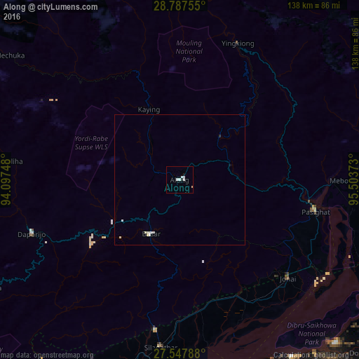
Along night lights from space
Night Light of Along (Arunachal Pradesh) from space (India) Src. Average luminocity for 10x10km area is 5.2159% and for 50x50km: 0.5643%.
Analysis of Along night lights 2016
Square area 10x10 km:
 1.52%
1.52%90-99
2.27%80-89
0.38%70-79
0%60-69
0%50-59
0%40-49
0%30-39
0%20-29
0.76%10-19
0.76%0-9
94.32%Square area 50x50 km:
0.16%90-99
0.2%80-89
0.09%70-79
0%60-69
0%50-59
0%40-49
0%30-39
0%20-29
0.06%10-19
0.06%0-9
99.42%Clear (daylight) street map image can be seen on geolist.org.
Map coordinates:
28° 47' 15.2" North, 94° 5' 50.9" East
28° 10' 10.2" North, 94° 48' 2.2" East
27° 32' 52.4" North, 95° 30' 13.4" East
Some cities around Along sort by population:
• Dibrugarh
77.4 km =48.1 mi,  172°
172°
• Tinsukia
93.5 km =58.1 mi,  143°
143°
• Pāsighāt
52.9 km =32.9 mi,  102°
102°
• Silapathar
64.4 km =40 mi,  186°
186°
• Dum Duma
99.9 km =62.1 mi,  131°
131°
• Mākum
98.4 km =61.1 mi, 140°
• Dhemāji
79.2 km =49.2 mi,  195°
195°
• Chābua
84.8 km =52.7 mi,  154°
154°
1278969 (p: 18,425)
Sources (retrieved 2019-11-25):
» Earth at Night: Flat Maps 2012, 2016