Alīpur Duār night lights from space
Night Light of Alīpur Duār (West Bengal) from space (India) Src. Average luminocity for 10x10km area is 27.6799% and for 50x50km: 6.137%.
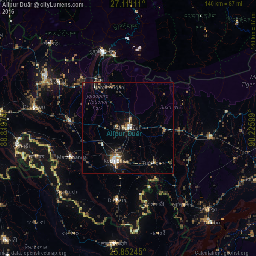

Analysis of Alīpur Duār night lights 2016
Square area 10x10 km:
 5.3%
5.3%90-99
4.55%80-89
3.03%70-79
1.52%60-69
3.03%50-59
3.22%40-49
3.79%30-39
3.98%20-29
6.25%10-19
34.09%0-9
31.25%Square area 50x50 km:
0.66%90-99
0.73%80-89
0.37%70-79
0.56%60-69
0.6%50-59
0.98%40-49
1.08%30-39
1.57%20-29
1.97%10-19
4.64%0-9
86.84%Clear (daylight) street map image can be seen on geolist.org.
Map coordinates:
27° 6' 40" North, 88° 49' 11.1" East
26° 29' 0.6" North, 89° 31' 22.3" East
25° 51' 8.8" North, 90° 13' 33.6" East
Some cities around Alīpur Duār sort by population:
• Jaigaon
43.1 km =26.8 mi,  340°
340°
• Koch Bihār
19.2 km =11.9 mi,  203°
203°
• Dīnhāta
39.2 km =24.4 mi,  189°
189°
• Hāsimāra
33.8 km =21 mi,  330°
330°
• Mātābhānga
34.4 km =21.4 mi,  242°
242°
• Tufānganj
23.3 km =14.5 mi,  142°
142°
• Fālākāta
32 km =19.9 mi,  277°
277°
• Phuntsholing, BT
43.1 km =26.8 mi, 341°
1279003 (p: 65,232)
Sources (retrieved 2019-11-25):
» NASA, Earths city lights 1995
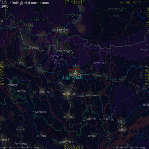
» NASA city lights 2003
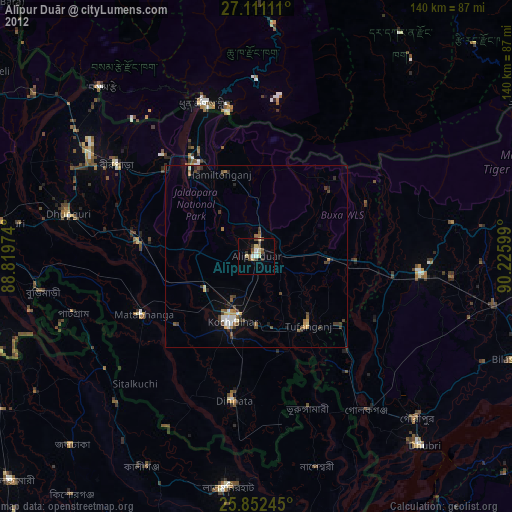
» Earth at Night: Flat Maps 2012, 2016