Hāsimāra night lights from space
Night Light of Hāsimāra (West Bengal) from space (India) Src. Average luminocity for 10x10km area is 10.504% and for 50x50km: 5.5453%.
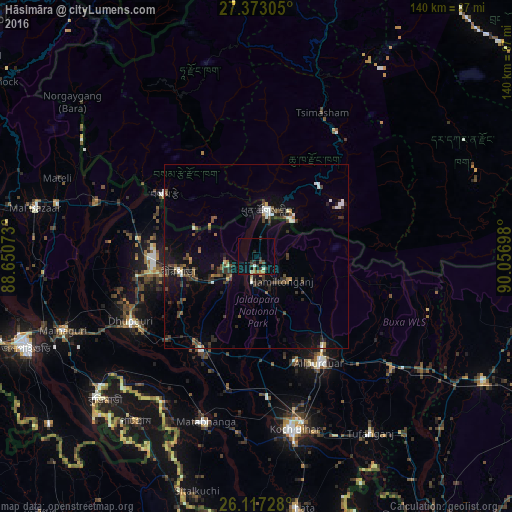
Analysis of Hāsimāra night lights 2016
Square area 10x10 km:
 0.6%
0.6%90-99
1.79%80-89
0%70-79
0.6%60-69
1.79%50-59
2.18%40-49
1.39%30-39
2.78%20-29
3.57%10-19
1.98%0-9
83.33%Square area 50x50 km:
0.51%90-99
0.64%80-89
0.18%70-79
0.31%60-69
0.47%50-59
0.94%40-49
1.4%30-39
1.46%20-29
1.68%10-19
3.41%0-9
89.01%Clear (daylight) street map image can be seen on geolist.org.
Map coordinates:
27° 22' 23" North, 88° 39' 2.6" East
26° 44' 48.8" North, 89° 21' 13.9" East
26° 7' 2.2" North, 90° 3' 25.1" East
Some cities around Hāsimāra sort by population:
• Jaigaon
11.4 km =7.1 mi,  10°
10°
• Goyerkāta
33 km =20.5 mi,  260°
260°
• Alīpur Duār
33.8 km =21 mi,  150°
150°
• Dhupgāri
38.6 km =24 mi,  242°
242°
• Birpara
21.2 km =13.2 mi, 257°
• Fālākāta
29.3 km =18.2 mi,  210°
210°
• Phuntsholing, BT
12.1 km =7.5 mi,  16°
16°
• Samtse, BT
30.4 km =18.9 mi,  303°
303°
1270245 (p: 40,000)
Sources (retrieved 2019-11-25):
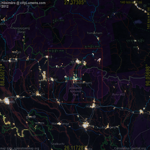
» Earth at Night: Flat Maps 2012, 2016