Tufānganj night lights from space
Night Light of Tufānganj (West Bengal) from space (India) Src. Average luminocity for 10x10km area is 10.3333% and for 50x50km: 8.1978%.
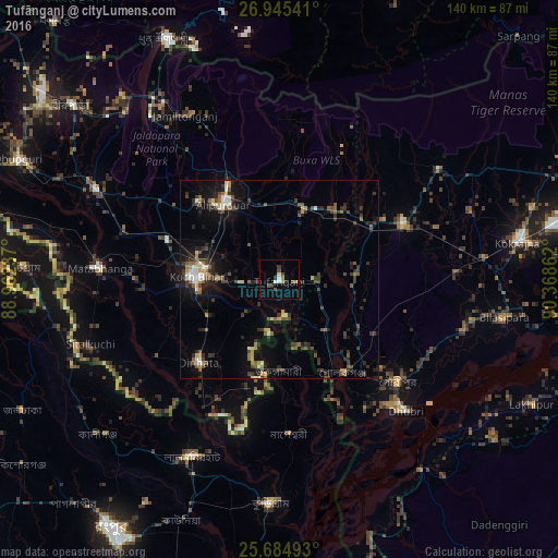
Analysis of Tufānganj night lights 2016
Square area 10x10 km:
 0.79%
0.79%90-99
1.98%80-89
0.4%70-79
1.39%60-69
0.99%50-59
2.18%40-49
1.19%30-39
2.18%20-29
1.98%10-19
0.2%0-9
86.71%Square area 50x50 km:
0.76%90-99
0.77%80-89
0.5%70-79
0.83%60-69
0.95%50-59
1.62%40-49
1.5%30-39
2.08%20-29
2.83%10-19
5.02%0-9
83.14%Clear (daylight) street map image can be seen on geolist.org.
Map coordinates:
26° 56' 43.5" North, 88° 57' 44.5" East
26° 19' 0.8" North, 89° 39' 55.8" East
25° 41' 5.7" North, 90° 22' 7" East
Some cities around Tufānganj sort by population:
• Koch Bihār
22 km =13.7 mi,  272°
272°
• Alīpur Duār
23.3 km =14.5 mi,  322°
322°
• Nageswari, BD
38.9 km =24.2 mi,  176°
176°
• Dīnhāta
28.7 km =17.8 mi,  225°
225°
• Gauripur
39.3 km =24.4 mi,  131°
131°
• Mātābhānga
44.9 km =27.9 mi, 273°
• Goshaingaon
32.6 km =20.3 mi,  65°
65°
• Golakganj
28.6 km =17.8 mi,  146°
146°
1254131 (p: 20,420)
Sources (retrieved 2019-11-25):
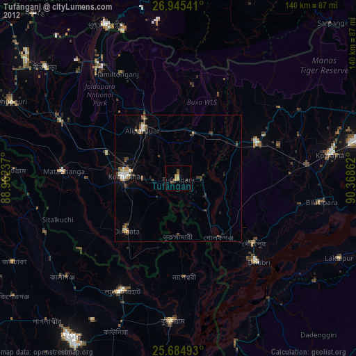
» Earth at Night: Flat Maps 2012, 2016